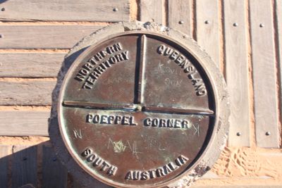
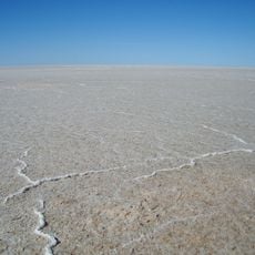
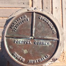
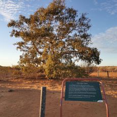
Poeppel Corner, Tripoint marker in Simpson Desert, Australia.
Poeppel Corner is a survey marker in the Simpson Desert that shows the exact spot where Queensland, South Australia, and Northern Territory meet. The stone stands in the middle of the remote desert landscape as a physical reminder of where these three borders come together.
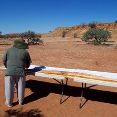
Augustus Poeppel established this border point in 1880 during colonial survey work that defined Australia's state boundaries. Early measurements needed correction later to confirm the precise location of this three-territory intersection.
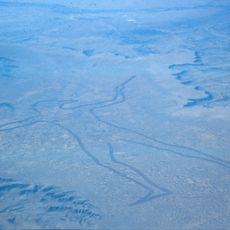
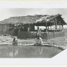
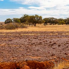
The survey teams relied on Aboriginal knowledge to locate water sources while traversing the remote desert landscape during the border demarcation process.
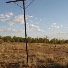
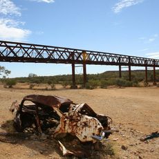
Reaching this location requires a capable off-road vehicle and careful planning, as it lies more than 170 kilometers from the nearest town. The desert journey takes many hours and offers little shelter or water supplies along the way.
At this spot, three Australian time zones meet in an unusual way that creates a special phenomenon. Visitors standing here can experience three different local times within a few minutes, making this one of Australia's most unusual geographical points.
Location: Northern Territory
Location: Queensland
Location: South Australia
Part of: political border
GPS coordinates: -25.99690,137.99900
Latest update: December 10, 2025 15:58
Deserts of Australia
169.2 km
Marree Man
396.8 km
Anna Creek station
317.9 km
Lake Eyre basin
7 m
Australian Overland Telegraph Line
302.9 km
Burke and Wills Dig Tree
355.3 km
Marree Mosque
406.9 km
Dalhousie Springs
256.5 km
Kati Thanda-Lake Eyre National Park
299.5 km
Algebuckina Bridge
303.5 km
Witjira National Park
240.3 km
Diamantina National Park
423.4 km
Munga-Thirri National Park
98.1 km
Astrebla Downs National Park
317.7 km
Birdsville Hotel
135.8 km
Royal Hotel, Birdsville
136.1 km
Kidman's Tree of Knowledge
209.5 km
Emergency Fire Service
412.1 km
Australian Inland Mission Hospital, Birdsville
136.2 km
Poeppel Corner Survey Marker
15 m
Malkumba-Coongie Lakes National Park
254.1 km
Boulia Stone House
394 km
Birdsville Courthouse
135.5 km
Ethabuka Reserve
241.8 km
Carcory Homestead Ruin
178.3 km
Bedourie Pisé House and Aboriginal Tracker's Hut
234.7 km
Murrili meteorite
366.2 km
Lone Gum Tree
81 kmVisited this place? Tap the stars to rate it and share your experience / photos with the community! Try now! You can cancel it anytime.
Discover hidden gems everywhere you go!
From secret cafés to breathtaking viewpoints, skip the crowded tourist spots and find places that match your style. Our app makes it easy with voice search, smart filtering, route optimization, and insider tips from travelers worldwide. Download now for the complete mobile experience.
A unique approach to discovering new places❞
— Le Figaro
All the places worth exploring❞
— France Info
A tailor-made excursion in just a few clicks❞
— 20 Minutes