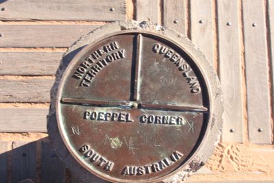
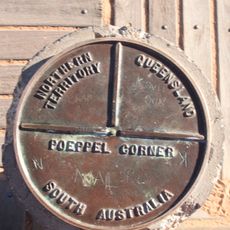
Poeppel Corner Survey Marker, Survey marker at Queensland, Northern Territory and South Australia border intersection, Australia.
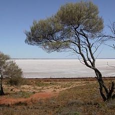
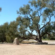
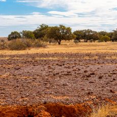
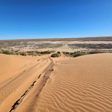
The Poeppel Corner Survey Marker is a boundary stone marking the exact meeting point of Queensland, Northern Territory, and South Australia. It sits in a remote location within the Simpson Desert near Lake Poeppel.
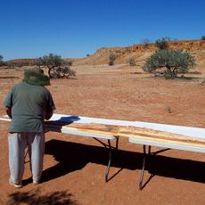
The boundary marker was established between 1879 and 1880 by surveyors Augustus Poeppel and Lawrence Wells working under harsh desert conditions. This survey represented a significant achievement in accurately defining territorial borders across remote inland Australia.
The marker represents significant developments in Australian land surveying techniques and territorial demarcation methods from the nineteenth century colonial period.
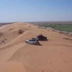
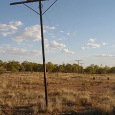
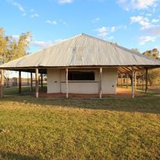
Reaching this marker requires a four-wheel drive vehicle and proper desert survival gear for the challenging journey. Plan carefully for the isolated conditions and bring adequate water and fuel supplies.
The marker received recognition on the Queensland Heritage Register in 2012 for its role in establishing precise geographical boundaries. It stands as evidence of early surveying methods accomplished without modern technology.
The community of curious travelers
AroundUs brings together thousands of curated places, local tips, and hidden gems, enriched daily by 60,000 contributors worldwide.