Lake Torrens National Park, Salt lake national park in South Australia, Australia
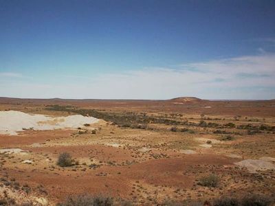
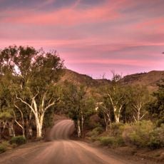
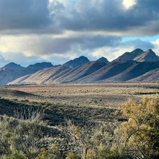
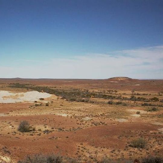
Lake Torrens National Park protects Lake Torrens, Australia's second-largest salt lake, covering 5,700 km² in an endorheic basin within the same rift valley as Spencer Gulf. The lake is usually a dry salt flat stretching 250 km in length, bordered by low dark hills and approached over rough grassy ground. It lies about 345 km north of Adelaide and 65 km west of Leigh Creek.
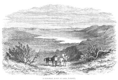
Edward John Eyre reached the salt lake in 1839 and took it for the western arm of a vast horseshoe-shaped salt pan blocking access to the Flinders Ranges. Only in March 1858 did A. C. Gregory approach the ranges from the north, and later that year expeditions led by Benjamin H. Babbage and Peter Warburton entered from the north-west near today's Marree. Eyre's "horseshoe" proved to be separate lakes, including Lake Torrens.
The lake lies in the traditional country of the Kuyani people, who call it Ngarndamukia. Edward John Eyre reached the salt pan in 1839 and named it after Colonel Robert Torrens. The German sources record that access today requires special official permission, granted mainly from the west via Roxby Downs and Andamooka, where opal fields lie.
Visitors need permission from local pastoral stations to access the park, with the main route passing through Mulgaría Station between Leigh Creek and Andamooka. Plan for a long journey and bring supplies, as infrastructure in the area is sparse.
Edward John Eyre reached the salt lake in 1839 and took it for the western arm of a vast horseshoe-shaped salt pan blocking all routes to the Flinders Ranges. Nearly twenty years passed, in March 1858, before A. C. Gregory approached the ranges from the north. Eyre's supposed single lake turned out to be several separate basins, among them Lake Torrens.
The community of curious travelers
AroundUs brings together thousands of curated places, local tips, and hidden gems, enriched daily by 93,445 contributors worldwide.