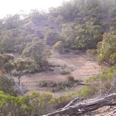
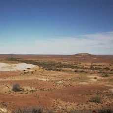
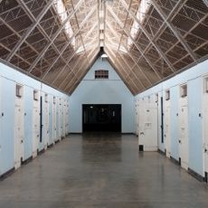
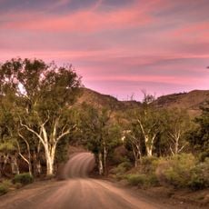
Wilpena Pound, Natural amphitheater in Ikara-Flinders Ranges National Park, South Australia
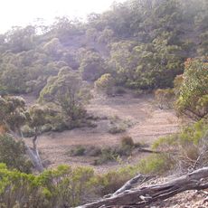
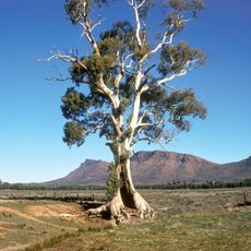
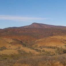
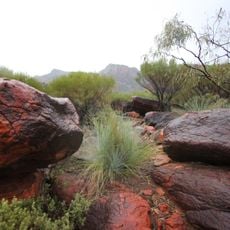
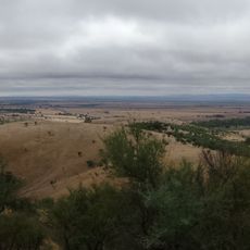
Wilpena Pound is a synclinal basin in Ikara-Flinders Ranges National Park, 429 km north of Adelaide. Its rim is formed by two ranges joined at the south by Rawnsley's Bluff (950 m), with St Mary Peak (1,171 m) the highest point. Wilpena Gap cuts the eastern range, and Wilpena Creek drains the interior through it.
Edward Eyre first spotted the distant peaks of this region in 1839, triggering a series of explorations into the area. Land disputes followed as bushman William Chace and pastoralist C.N. Bagot competed over control and use of the territory.
The Adnyamathanha people call this place Ikara, meaning meeting place, and their creation stories describe dreaming serpents that shaped the peaks. These stories remain central to how the landscape is understood by those with deep roots in the region.
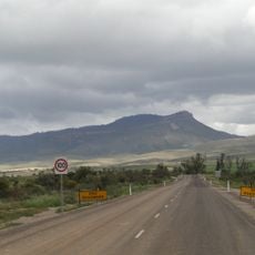
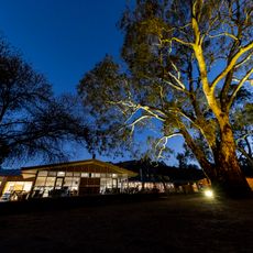
The only sealed access runs between Hawker to the south and Blinman to the north, passing the park visitor centre and Wilpena Pound Resort. The Heysen Trail crosses the range over Bridle Gap, a high saddle on the south-western rim. Summer daytime averages reach 31.8 to 33.8 °C, while June to August days average 15.9 to 17.7 °C.
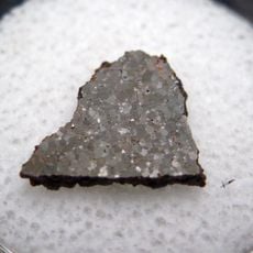
The Pound Subgroup takes its name from this basin and consists of Rawnsley Quartzite and Bonney Sandstone, laid down during the Ediacaran Period. Fossils such as Ikaria wariootia have been found in these layers, and the rocks gave their name to the wider Wilpena Group of the Adelaide Geosyncline.
The community of curious travelers
AroundUs brings together thousands of curated places, local tips, and hidden gems, enriched daily by 93,442 contributors worldwide.