Christmas Island, External territory in Indian Ocean, Australia
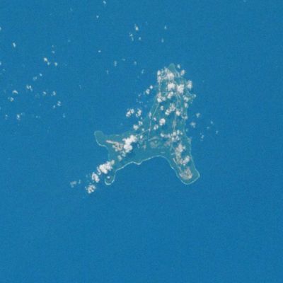
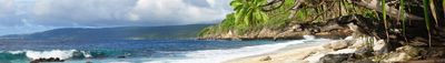
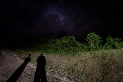
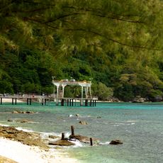
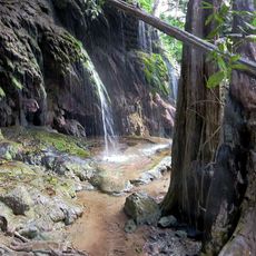
Christmas Island rises from the Indian Ocean as a volcanic formation covered with tropical rainforest and surrounded by coral reefs. The plateau sits roughly 360 meters above sea level and the coastline drops in steep cliffs, while narrow beaches and coves offer access to the water in certain spots.
The British navigator William Mynors named this landmass on December 25, 1643, while traveling aboard the merchant ship Royal Mary. The territory remained uninhabited until the late 19th century, when phosphate mining began and drew workers from across Asia.
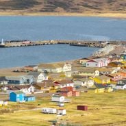
The community of around 2,000 people includes Chinese and Malay families who maintain their traditions through temples, festivals and ceremonies. Visitors can see the mosques, Buddhist temples and Christian churches that shape daily life across the settlement.
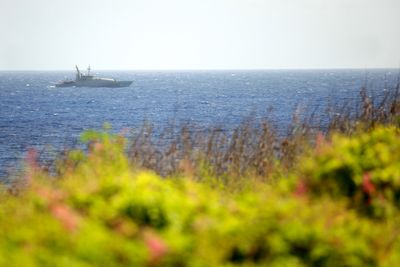
The settlement at Flying Fish Cove provides essential services, medical facilities, a supermarket and regular flight connections to Perth and Jakarta. Walking trails lead through the national park, but the tropical climate and remote location require preparation for trips outside the village.
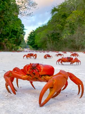
During the annual migration season, millions of red land crabs move from the forest to the ocean, requiring road closures across the territory. More than 100 kilometers of plastic barriers and purpose-built bridges protect the migrating animals during these weeks in November and December.
The community of curious travelers
AroundUs brings together thousands of curated places, local tips, and hidden gems, enriched daily by 60,000 contributors worldwide.