
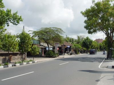
Batubulan, village in Gianyar, Bali Province, Indonesia
Location: Sukawati
Elevation above the sea: 41 m
GPS coordinates: -8.62228,115.26192
Latest update: April 21, 2025 12:16

Ubud Monkey Forest
11.5 km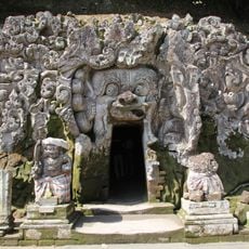
Goa Gajah
11.3 km
Sanur Beach
6.8 km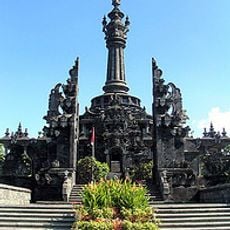
Bajra Sandhi Monument
6.3 km
Bali Zoo
3.4 km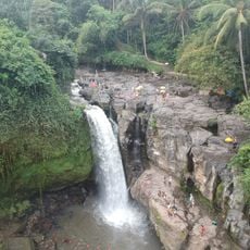
Tegenungan Waterfall
6.1 km
Ayung River
3.5 km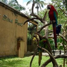
Bali Bird Park
2.7 km
Pura Dalem Agung Padangtegal
11.5 km
Holy Spirit Cathedral
6.8 km
CitraLand Waterpark Denpasar
7.6 km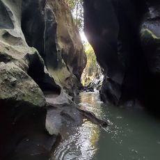
Mini zoo
3.1 km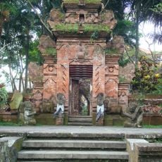
Agung Rai Museum of Art (ARMA)
11.1 km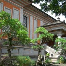
Museum Rudana
10.4 km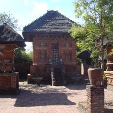
Pura Maospahit
6.7 km
Kongco Pura Taman Gandasari
5 km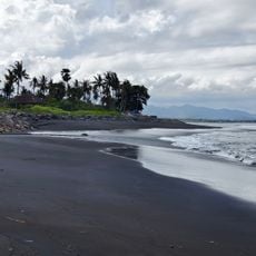
Pantai Masceti
9.8 km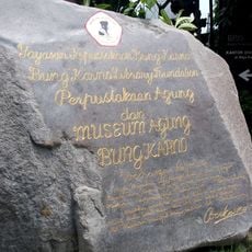
Museum Agung Bung Karno
6.9 km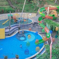
Keramas Park
9.2 km
Kemenuh Butterfly Park
6.2 km
Agung Rai Museum of Art
11.1 km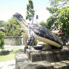
Turtle Conservation And Education Center
11.6 km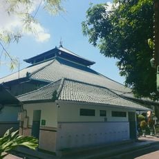
Sudirman Grand Mosque
6.8 km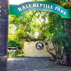
Bali Reptile Park
2.8 km
Sindhu
6.9 km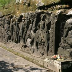
Yeh Pulu
10.7 km
Pantai Saba
6.4 km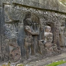
Yeh Pulu
10.7 kmReviews
Visited this place? Tap the stars to rate it and share your experience / photos with the community! Try now! You can cancel it anytime.
Discover hidden gems everywhere you go!
From secret cafés to breathtaking viewpoints, skip the crowded tourist spots and find places that match your style. Our app makes it easy with voice search, smart filtering, route optimization, and insider tips from travelers worldwide. Download now for the complete mobile experience.

A unique approach to discovering new places❞
— Le Figaro
All the places worth exploring❞
— France Info
A tailor-made excursion in just a few clicks❞
— 20 Minutes