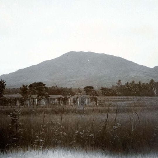
Mountain Karang, Stratovolcano in Pandeglang, Indonesia.
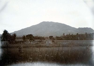
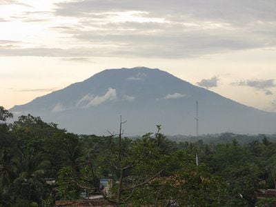
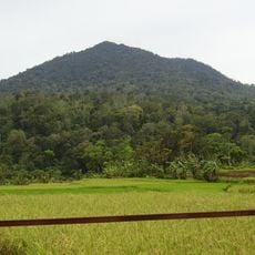
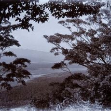
Gunung Karang is a rounded stratovolcano in Pandeglang, Banten, Indonesia, rising 1,778 meters above sea level to a summit called Sumur Tujuh. It is the highest mountain in Banten and the northernmost on Java. Its grey-green slopes of forest and bare ground sit behind a band of dark trees and a low fence with thin posts.
This dormant stratovolcano has remained silent throughout recorded history, though it is still classified as an active volcanic formation by geologists. Its last known eruption lies beyond human documentation.
Pilgrims following the Curug Nangka/Ciomas route climb to the summit for ziarah, and the Kaduengang trail passes the tomb of Pangeran TB. Jaya Raksa, which hikers are advised to visit before continuing. The peak itself is named Sumur Tujuh, and Banten's provincial government promotes the mountain as a spiritual tourism destination alongside the old sultanate sites of Banten Lama.
Three routes reach the summit: from Kaduengang village (4–6 hours), from Pagerwatu/Ciekek on the southern side (7–8 hours, gentler), and the pilgrim route via Curug Nangka/Ciomas (about 20 hours). The Kaduengang trail starts with an uphill village road; its first post is marked by a tower near an elder's house, and the tomb of Pangeran TB. Jaya Raksa lies to the right of the path.
A large stone at the bottom of the Cikoromoi pool carries Arabic inscriptions estimated to be more than 500 years old. These engravings link the site to the early Islamic influences in Banten.
The community of curious travelers
AroundUs brings together thousands of curated places, local tips, and hidden gems, enriched daily by 93,174 contributors worldwide.