
Karangharja, village in Bekasi Regency, West Java, Indonesia
Location: Pebayuran
Elevation above the sea: 2 m
GPS coordinates: -6.11139,107.21861
Latest update: March 7, 2025 07:04
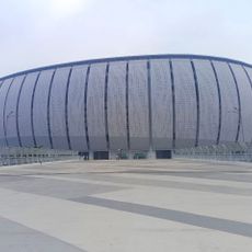
Jakarta International Stadium
39.7 km
Jakarta–Cikampek Toll Road
40.1 km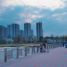
Meikarta
25.8 km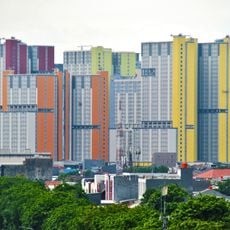
Kemayoran Athletes Village
40 km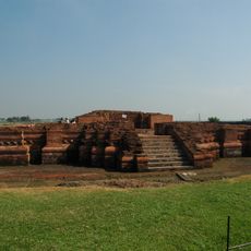
Batujaya
9.5 km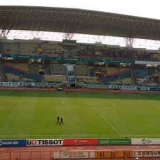
Wibawa Mukti Stadium
22.6 km
Sunter Kelapa Gading
36.5 km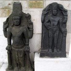
Cibuaya
15.8 km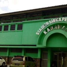
Singaperbangsa Stadium
23.4 km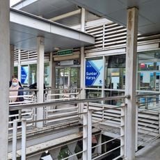
Sunter Karya
38.7 km
Pulo Gadung 2
35.2 km
Monumen Pancasila Sakti
39.8 km
Sunter Boulevard Barat
36.7 km
ASMI
37.1 km
Kota Harapan Indah
28.7 km
Pasar Cempaka Putih
40 km
Museum Pengkhianatan PKI (Komunis)
39.8 km
Rumah si Pitung
28.8 km
SMP 140
39.9 km
History of Sundaland Museum
25.4 km
Fort Meester Cornelis
39.5 km
Maritime Museum of Indonesia
37.1 km
Taman Benyamin Sueb
40.1 km
At-Taubah Mosque
32.6 km
Makom Kramat Guru Abdurahman Dan Pangeran Salim
32.1 km
Marunda Pulo
28.9 km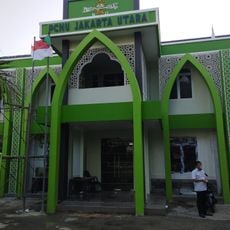
Kantor PCNU JAKARTA UTARA
33.4 km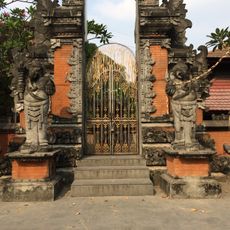
Pura Aditya Jaya
39.2 kmReviews
Visited this place? Tap the stars to rate it and share your experience / photos with the community! Try now! You can cancel it anytime.
Discover hidden gems everywhere you go!
From secret cafés to breathtaking viewpoints, skip the crowded tourist spots and find places that match your style. Our app makes it easy with voice search, smart filtering, route optimization, and insider tips from travelers worldwide. Download now for the complete mobile experience.

A unique approach to discovering new places❞
— Le Figaro
All the places worth exploring❞
— France Info
A tailor-made excursion in just a few clicks❞
— 20 Minutes