Gunung Sewu Geopark, UNESCO Global Geopark in Gunungkidul, Indonesia.
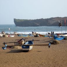
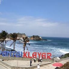
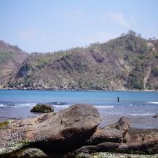
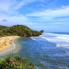
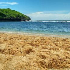
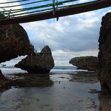
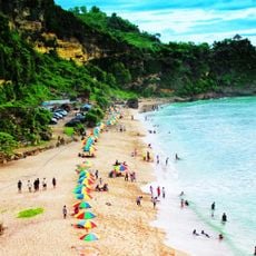
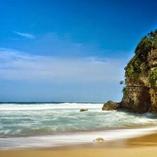
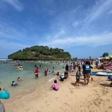
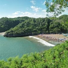
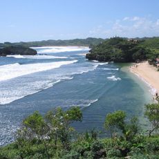
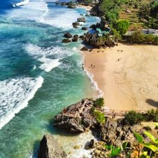
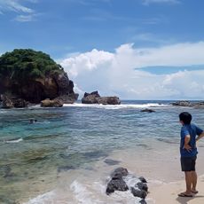
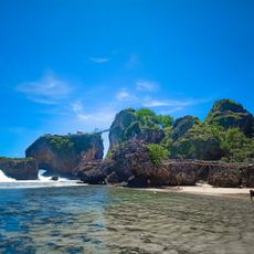
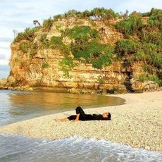
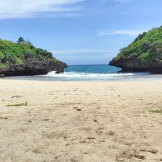
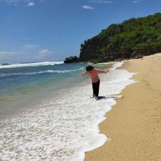
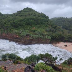
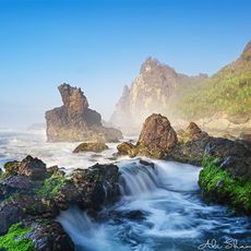
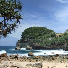
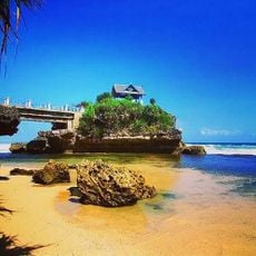
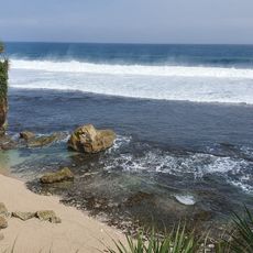
Gunung Sewu Geopark spans three provinces and displays a limestone landscape with caves, underground rivers, and coastal areas along the Indian Ocean. The terrain offers multiple hiking paths and geological formations that reveal how water, rock, and erosion have shaped the environment over time.
Scientific research at the site began in 1992, documenting its geological significance. UNESCO formally recognized it as a Global Geopark in 2015.
The name Gunung Sewu means "Thousand Mountains" and refers to the rolling limestone landscape that shapes daily life in the villages here. In the settlements, you will notice traditional farming methods adapted to the unique conditions of this terrain.
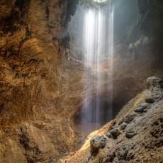
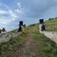
You can explore caves and walk marked trails throughout the area, with information centers and local guides available to explain what you see. The dry season is the best time to visit, when paths are accessible and conditions are safest.
Beneath the dry karst surface flows a hidden network of underground rivers and springs that carries water to villages across all three regions. These invisible waterways are vital to local survival and show how closely the site's geology connects to everyday life.
The community of curious travelers
AroundUs brings together thousands of curated places, local tips, and hidden gems, enriched daily by 60,000 contributors worldwide.