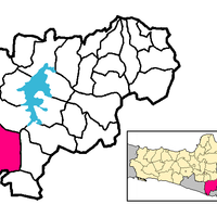
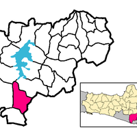
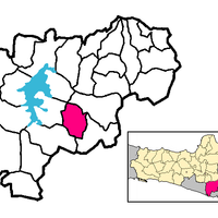
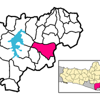
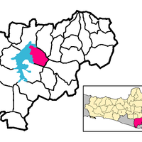
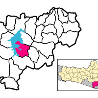
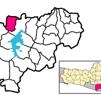
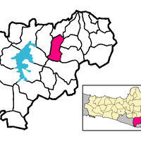
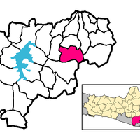
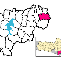
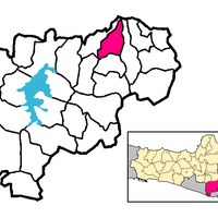
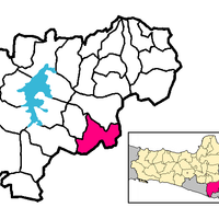
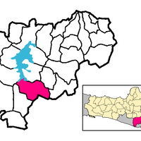
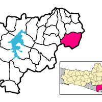
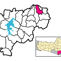
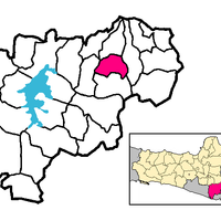
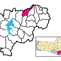
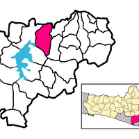
Wonogiri, Administrative regency in Central Java, Indonesia
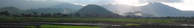
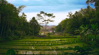
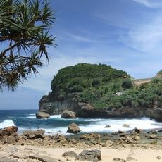
Wonogiri is an administrative regency in southeastern Central Java, featuring limestone hills, rice paddies, and a large reservoir enclosed by forested ridges. The landscape shifts between gentle valley floors and steep karst formations, carved by rivers flowing throughout the territory.
The region was established in the early 18th century and later reshaped through water engineering projects. The reservoir was completed in the early 1980s and fundamentally altered farming practices across the territory.
The name means "Famous for Water" and reflects the role of rivers and reservoirs in shaping daily routines. Villages nestle in valleys and on hillsides, linked by narrow paths that lead to fields where cassava and cacao grow.
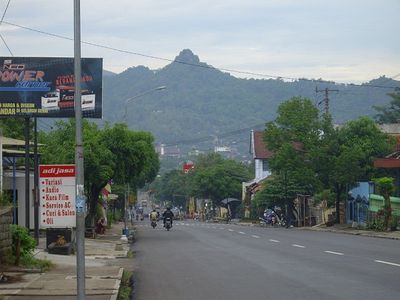
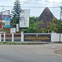
Access to different districts relies on rural and country roads that are often winding and uneven, particularly in hilly terrain. During the rainy season these routes become slippery, so allow extra time when planning longer journeys through the region.
Within the karst landscape, caves function as water sources that locals harness for irrigation purposes. Some of these caves extend so far underground that exploring them requires lamps and ropes for safety.
The community of curious travelers
AroundUs brings together thousands of curated places, local tips, and hidden gems, enriched daily by 60,000 contributors worldwide.