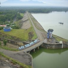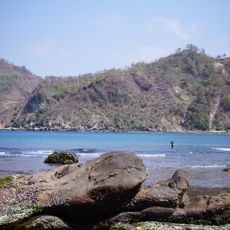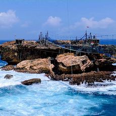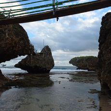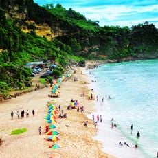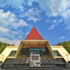
Mountain Sewu Geopark, UNESCO Global Geopark in Gunungkidul, Indonesia.
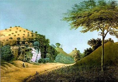
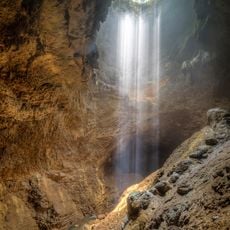
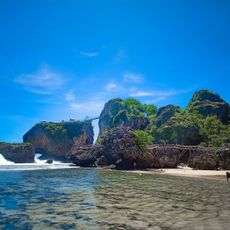
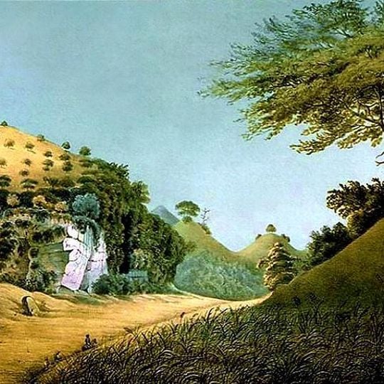
Gunung Sewu Geopark stretches along the southern coast of Java through Gunungkidul, Wonogiri and Pacitan, a karst range of about 40,000 cone-shaped limestone hills. Its surface shows karst valleys and lakes, while at least 119 caves hold stalactites, stalagmites and underground rivers. The photograph shows a broad tan hill dotted with shrubs, a dark green band of vegetation and an outcrop of pink-streaked white rock.
The limestone range formed when the seabed was lifted thousands of years ago. In 1993 the International Union of Speleology proposed the karst area as a natural world heritage site, and in September 2015 UNESCO designated it a Global Geopark. Caves here have yielded early Stone Age human fossils about 1.8 million years old with hunting stone tools.
The name Gunung Sewu means "Thousand Mountains", referring to the roughly 40,000 cone-shaped limestone hills of the karst. Local cavers distinguish vertical caves, called luweng in Javanese, from horizontal ones; Luweng Jomblang and Luwung Grubug in Semanu are well known to speleological groups.
You can explore caves and walk marked trails throughout the area, with information centers and local guides available to explain what you see. The dry season is the best time to visit, when paths are accessible and conditions are safest.
Beneath the dry karst surface flows a hidden network of underground rivers and springs that carries water to villages across all three regions. These invisible waterways are vital to local survival and show how closely the site's geology connects to everyday life.
The community of curious travelers
AroundUs brings together thousands of curated places, local tips, and hidden gems, enriched daily by 93,276 contributors worldwide.