Donorojo, village in Pacitan Regency, East Java, Indonesia
Location: Donorojo
Elevation above the sea: 320 m
GPS coordinates: -8.09472,111.00000
Latest update: May 22, 2025 08:48
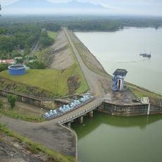
Gajah Mungkur Reservoir
23.8 km
Pantai Klayar
15.6 km
Gunung Sewu Geopark
25.3 km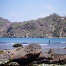
Wediombo beach
33.7 km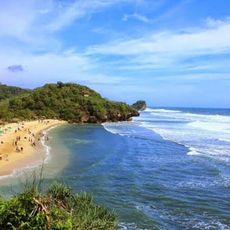
Pantai Pulang Sawal
43.1 km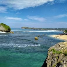
Pantai Ngandong
43.8 km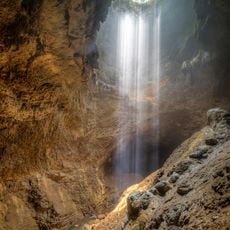
Jomblang Cave
40.6 km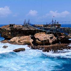
Timang Beach
38.3 km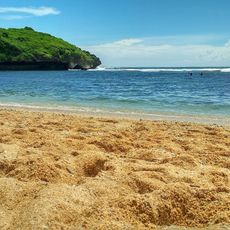
Pantai Sadranan
44 km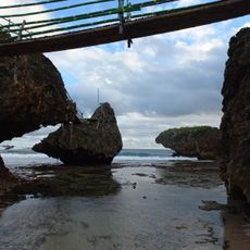
Panté Siung
36.3 km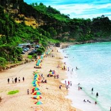
Pok Tunggal Beach
42.2 km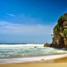
Pantai Watu Kodok
47.1 km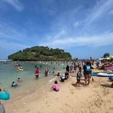
Drini Beach
46.8 km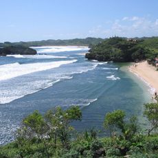
Sundak Beach
43.6 km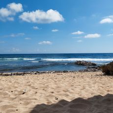
Pantai Watu Lawang
42.6 km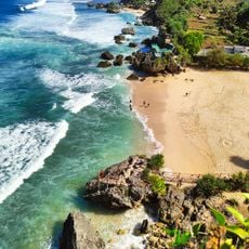
Pantai Ngerumput
46.2 km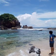
Pantai Jungwok
33.7 km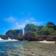
Siung Beach
36.3 km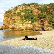
Pantai Sangleng
47.5 km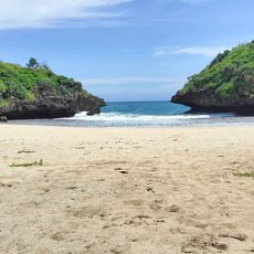
Pantai Sedahan
32.8 km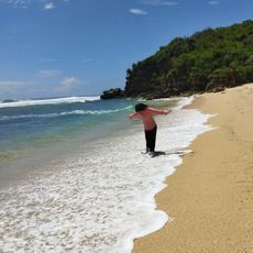
Sepanjang Beach
48 km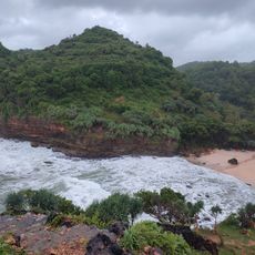
Pantai Ngitun
39.2 km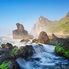
Pantai Watu Lumbung
34.6 km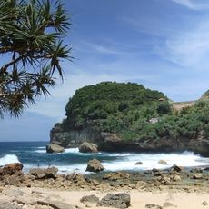
Pantai Sembukan
21.2 km
Pancer Surf Spot
18.9 km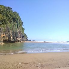
Pantai Taman
38 km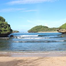
Pantai Bercak
16.2 km
Pantai Porok
48.9 kmReviews
Visited this place? Tap the stars to rate it and share your experience / photos with the community! Try now! You can cancel it anytime.
Discover hidden gems everywhere you go!
From secret cafés to breathtaking viewpoints, skip the crowded tourist spots and find places that match your style. Our app makes it easy with voice search, smart filtering, route optimization, and insider tips from travelers worldwide. Download now for the complete mobile experience.

A unique approach to discovering new places❞
— Le Figaro
All the places worth exploring❞
— France Info
A tailor-made excursion in just a few clicks❞
— 20 Minutes
