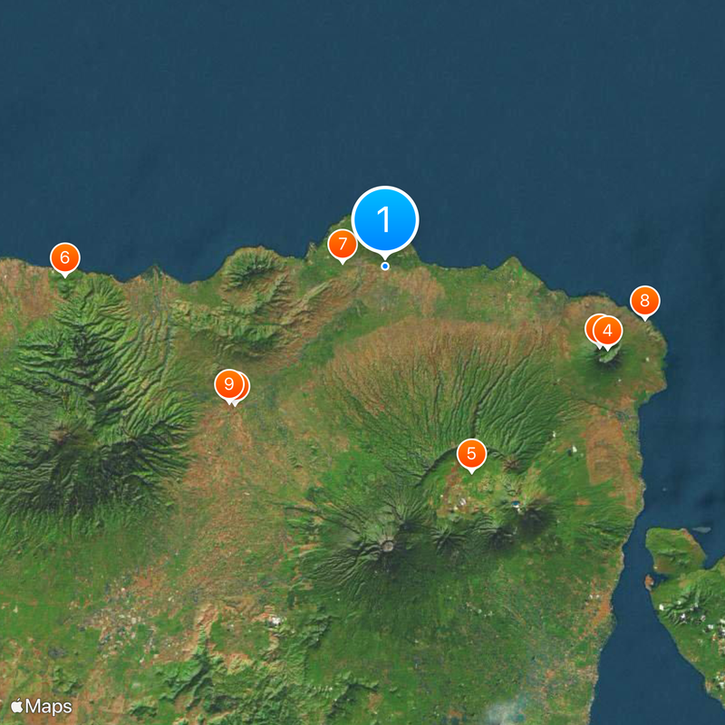
Situbondo, Administrative region in East Java, Indonesia
Situbondo is an administrative regency spread across about 1,650 square kilometers (640 square miles) in East Java. The area divides into seventeen districts containing numerous villages and several urban zones, creating a landscape of farming settlements and small towns.
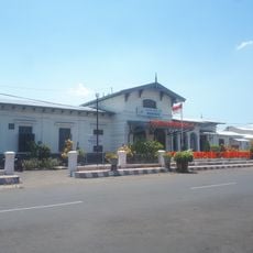
Over time, Situbondo became an important administrative hub in East Java due to its strategic location. Geography helped it grow as a connection point between larger cities in the region.
Rice farming and sugarcane cultivation have shaped how people live and celebrate together for generations. These crops influence the local calendar and bring communities together during planting and harvest seasons.
The dry season is best for traveling and seeing local farm work, as roads are in better condition and agricultural activity is most visible. Local bus services connect the various districts, making it practical to base yourself in one of the main administrative centers.
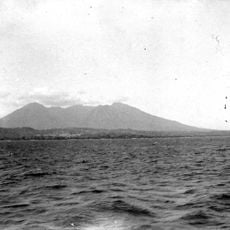
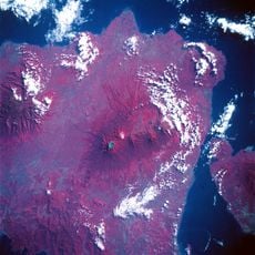
Few visitors know that this region sits along a climate boundary, creating shifts in vegetation and landscape over short distances. As you move through different areas, you notice how the terrain and plant life change quite distinctly.
The community of curious travelers
AroundUs brings together thousands of curated places, local tips, and hidden gems, enriched daily by 60,000 contributors worldwide.