Tanah Laut, Regency in South Kalimantan, Indonesia
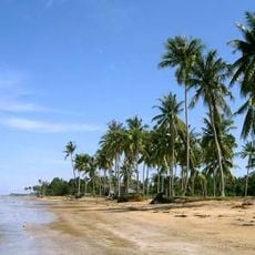
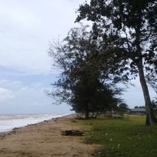
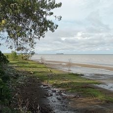
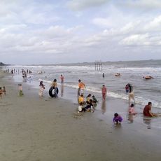
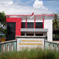
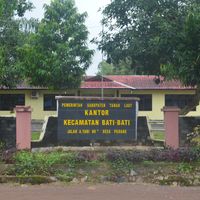
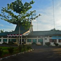
Tanah Laut is an administrative regency in South Kalimantan stretching along the Java Sea with flat plains, hills, and coastal zones throughout its territory. Pelaihari serves as the regional center, with eleven administrative districts organizing the area.
The regency was established on December 2, 1965, through Law Number 8, creating a second-level administrative division within South Kalimantan province. This legal formation defined its boundaries and governance structure as an independent territorial unit.
Banjarese people form the main population group and speak their local language alongside Indonesian in daily life. These linguistic traditions shape how communities interact and celebrate their heritage through local customs.
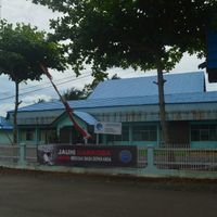
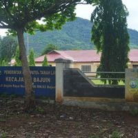
The regency is organized into eleven administrative districts, each with healthcare facilities including hospitals and medical centers available to residents. Visitors should note that services are distributed across these districts rather than concentrated in one location.
The local economy relies heavily on corn farming and fishing from coastal waters, which sustain many residents and shape economic life. These two sectors form the backbone of livelihood for families throughout the region.
Location: South Kalimantan
Capital city: Pelaihari
Elevation above the sea: 101 m
Shares border with: Tanah Bumbu, Banjar, Banjarbaru
Website: http://tanahlautkab.go.id
GPS coordinates: -3.79974,114.78259
Latest update: December 7, 2025 10:04
Tanjung Puting
338.4 km
Agung Temple
162.7 km
Lok Baintan Floating Market
56.9 km
Sultan Suriansyah Mosque
60.8 km
Al-Karomah Great Mosque
44.6 km
Sabilal Muhtadin Grand Mosque
57.6 km
Angsana Beach
89.5 km
Sabangau National Park
174.8 km
Great Mosque of Sumenep
371.5 km
Lambung Mangkurat Museum
40.3 km
Kahayan Bridge
201.9 km
May 17th Stadium
58.3 km
Darussalam Grand Mosque, Palangka Raya
200.8 km
Jami Mosque of Banjarmasin
58.7 km
Tuah Pahoe Stadium
201.3 km
Sungai Banar Jami Mosque
159.8 km
Sadurengas Museum
260.2 km
Holy Family Cathedral, Banjarmasin
57 km
Persiba Stadium
364.4 km
Pangeran Antasari Tomb
58.7 km
Fort Tabanio
19.6 km
Keramat Palajau Mosque
150 km
Jami Mosque of Datu Abulung
50 km
Ar Raudhah Great Mosque
128.3 km
Al-Istiqlal Great Mosque, Murung Raya
351.2 km
Kelayan Muhammadiyah Mosque
56.3 km
Komet Windpump
40.6 km
Banjarmasin
57.5 kmVisited this place? Tap the stars to rate it and share your experience / photos with the community! Try now! You can cancel it anytime.
Discover hidden gems everywhere you go!
From secret cafés to breathtaking viewpoints, skip the crowded tourist spots and find places that match your style. Our app makes it easy with voice search, smart filtering, route optimization, and insider tips from travelers worldwide. Download now for the complete mobile experience.
A unique approach to discovering new places❞
— Le Figaro
All the places worth exploring❞
— France Info
A tailor-made excursion in just a few clicks❞
— 20 Minutes