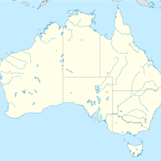
Mount Misery, Mountain summit in Huonville, Tasmania, Australia
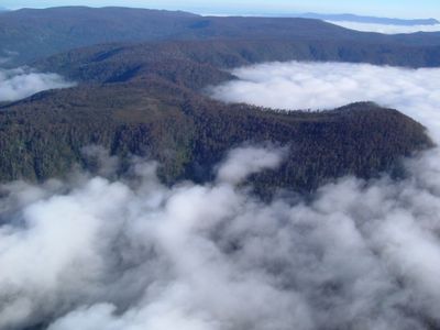
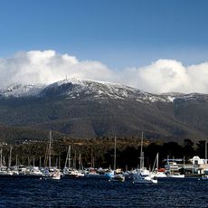
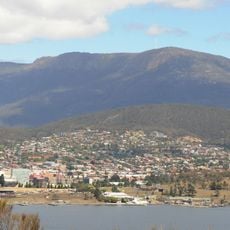
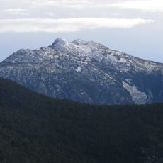
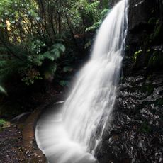
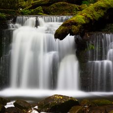
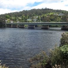
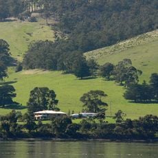
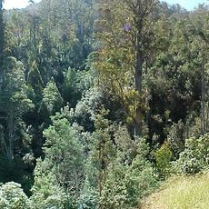
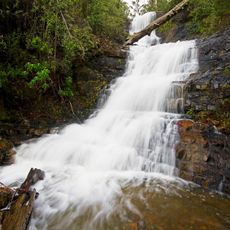
Mount Misery is a summit reaching approximately 690 meters that defines the landscape along a bend of the Huon River in southeastern Tasmania. The terrain supports diverse vegetation, including rainforest sections and eucalyptus forests on different slopes.
The area was marked by conservation agreements that represented Tasmania's first formal environmental protection arrangements to safeguard natural biodiversity. This early initiative in land stewardship established standards for environmental conservation in the region.
Interpretive panels along the walking track share stories about Aboriginal connections to the land and environmental knowledge of the area. These displays help visitors understand how the region has been understood and valued by different people over time.
The walking track starts at Huon Bush Retreats on Browns Road in Ranelagh and extends about 5 kilometers through rainforest and subalpine heathland to the summit. The path is walkable in varying weather conditions but requires proper preparation and suitable gear.
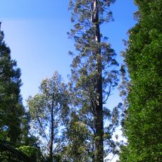
The northern slopes host a specialized eucalyptus species in mudstone soils, while the southern slopes contain towering rainforest with layered canopy structures. This contrast arises from different soil types and moisture conditions on opposite sides of the mountain.
The community of curious travelers
AroundUs brings together thousands of curated places, local tips, and hidden gems, enriched daily by 60,000 contributors worldwide.