
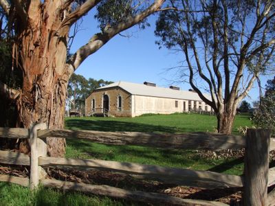
Glencoe, locality in South Australia
Location: Wattle Range Council
GPS coordinates: -37.67631,140.60562
Latest update: March 31, 2025 12:40
Coonawarra
47.7 km
Mount Gambier
22.5 km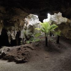
Naracoorte Caves National Park
73.2 km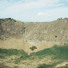
Mount Schank
31.5 km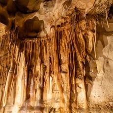
Princess Margaret Rose Cave
48.5 km
Wannon Falls
108.8 km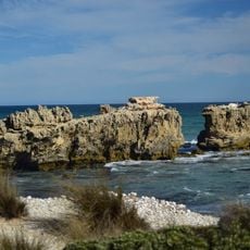
Canunda National Park
28 km
Lower Glenelg National Park
74.1 km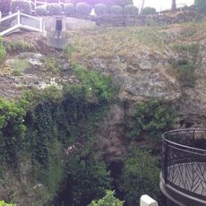
Cave Gardens
23 km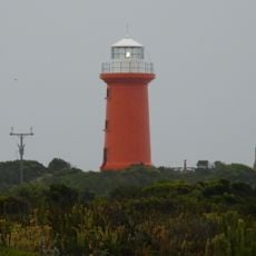
Cape Banks lighthouse
31.9 km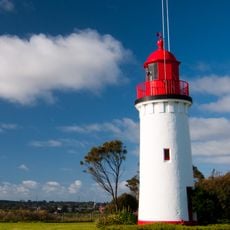
Whalers Bluff Lighthouse
114.7 km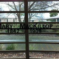
Mary MacKillop Interpretive Centre
39 km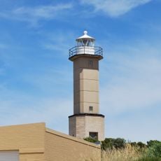
Cape Martin Lighthouse
56.3 km
Penguin Island Lighthouse
55.9 km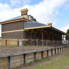
Casterton railway station
71.1 km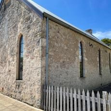
Mary MacKillop Penola Centre
39 km
Maritime Discovery Centre
115.2 km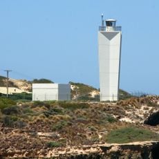
Robe Lighthouse
95.1 km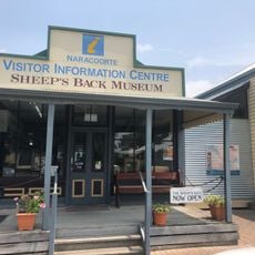
The Sheep's Back Museum
81.1 km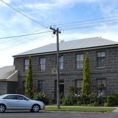
Victoria House
115 km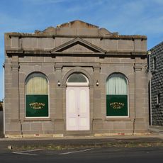
Portland Club
115.2 km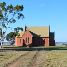
St Peter's church
97.1 km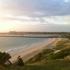
Nuns Beach
115 km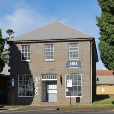
Benjamin's Store
115.3 km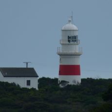
Cape Northumberland Lighthouse
42.6 km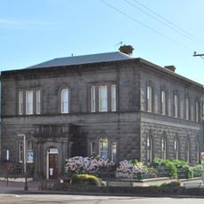
Union Bank of Australia building
115.2 km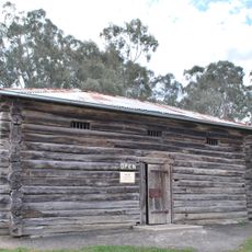
Harrow Log Lock-up
104.4 km
70 Julia Street
115 kmReviews
Visited this place? Tap the stars to rate it and share your experience / photos with the community! Try now! You can cancel it anytime.
Discover hidden gems everywhere you go!
From secret cafés to breathtaking viewpoints, skip the crowded tourist spots and find places that match your style. Our app makes it easy with voice search, smart filtering, route optimization, and insider tips from travelers worldwide. Download now for the complete mobile experience.

A unique approach to discovering new places❞
— Le Figaro
All the places worth exploring❞
— France Info
A tailor-made excursion in just a few clicks❞
— 20 Minutes