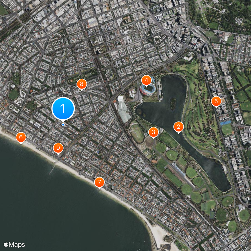
Albert Park, Administrative district in Port Phillip, Australia.
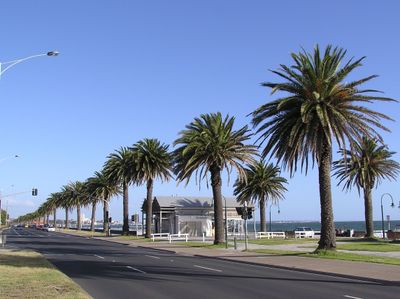
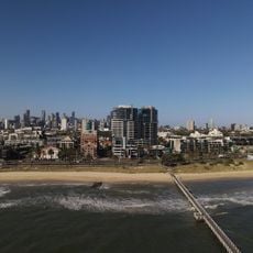
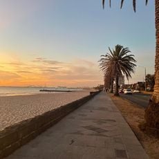
Albert Park is an administrative district in Port Phillip, Victoria, that spans several kilometers with residential neighborhoods and open spaces throughout. The area sits next to Melbourne's business district and blends urban living with quieter residential zones.
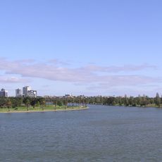
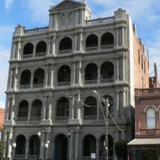
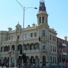
The area was originally known as Batman's Swamp and served as a critical water reserve for Melbourne starting in the 1850s. It was later transformed into an administrative district and developed into its current form as a residential zone.
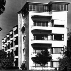
The district is a residential community shaped by people from different backgrounds who gather around local parks and schools for everyday activities. Visitors notice how neighborhoods have their own character with small shops and meeting spaces where locals spend time together.
The district is well served by public transport with tram routes and bus services connecting residents to central Melbourne and surrounding neighborhoods. Plenty of parking and pedestrian areas make getting around convenient for both residents and visitors.
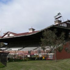
The district houses the Formula One racing circuit where local streets transform into a professional race track during the Australian Grand Prix each year. This annual event gives the area a completely different character during that time compared to regular life.
The community of curious travelers
AroundUs brings together thousands of curated places, local tips, and hidden gems, enriched daily by 60,000 contributors worldwide.