Mount Buninyong, Extinct volcano in Buninyong, Victoria, Australia
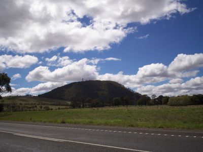
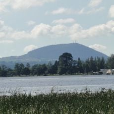
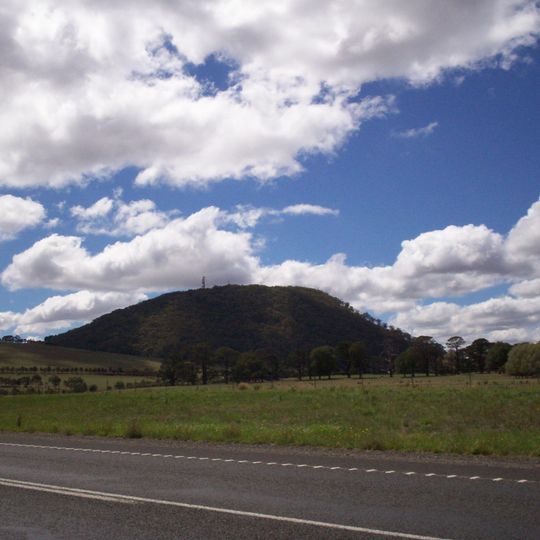
Mount Buninyong is an extinct volcano rising 745 metres above sea level, about 14 kilometres south of Ballarat and 4 kilometres north of the town of Buninyong. It is a scoria cone of the Newer Volcanics Province with a well-formed central crater breached on its north-western side. A single thin mast stands at the highest point, and a road has led to the summit since 1926.
Seven European settlers reached the summit in 1837, marking the beginning of increased European use of the mountain. A public reserve of around 90 hectares was established in 1866 to protect the area.
The name Mount Buninyong derives from "Mount Bonan Yowing", said to come from an Aboriginal word meaning "a man lying on his back with his knee raised". The Keyeet balug clan of the Wada Wurrung (Wathaurong) tribe occupied the area; an Aboriginal burial site was found in the 1860s and stone tools have been found more recently. No Aboriginal archaeological sites have been recorded and the area has not been surveyed, though Aboriginal Affairs Victoria has recommended a survey.
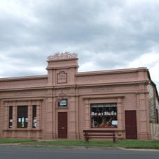
Several access points and signage are available, with maps and trail details at the Buninyong Information Centre to help plan your visit. The best time to come is during dry days in summer and autumn when conditions are most comfortable.
Snow falls on the mountain about six days each year, setting it apart from the surrounding Victorian landscape. This winter weather is unusual for the region and gives the summit a different character during the colder months.
The community of curious travelers
AroundUs brings together thousands of curated places, local tips, and hidden gems, enriched daily by 93,890 contributors worldwide.