City of Hume, Administrative division in northern Melbourne, Australia
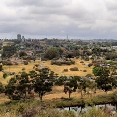
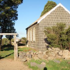
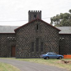
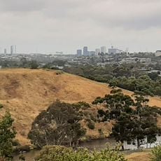
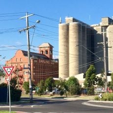
The City of Hume is an administrative division covering outer northwestern suburbs of Melbourne, mixing residential neighborhoods with industrial areas across a large territory. The municipality spans several distinct districts like Craigieburn, Broadmeadows, and Sunbury, where different types of development sit side by side.
This administrative area came together in 1994 when three separate local councils merged to form a single larger municipality. The merger united growing communities that had previously operated under different administrations.
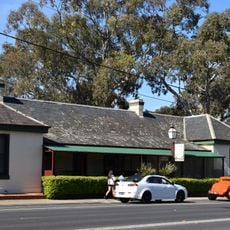
Residents from many backgrounds shop, gather, and celebrate in local centers across neighborhoods, creating distinct communities with their own shops and gathering places. Walking through these areas, you notice different languages spoken and food styles reflecting where people's families came from.
The area is divided into several neighborhoods, with council offices and public facilities scattered across different districts throughout the territory. It helps to know which service is located in which section before visiting, as the area covers a wide space.
In the early 2000s, this municipality introduced a local Bill of Rights that guaranteed residents certain protections and guarantees. This step came ahead of similar protections established at the state level.
The community of curious travelers
AroundUs brings together thousands of curated places, local tips, and hidden gems, enriched daily by 60,000 contributors worldwide.