
Lysterfield, suburb of Melbourne, Victoria, Australia
Location: Shire of Yarra Ranges
GPS coordinates: -37.93488,145.30176
Latest update: March 16, 2025 02:17
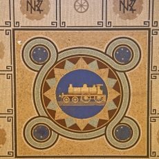
Puffing Billy Railway
5.7 km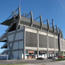
Waverley Park
10 km
Sandown Raceway
12 km
Dandenong Ranges National Park
12.8 km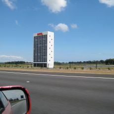
HOTEL
14.2 km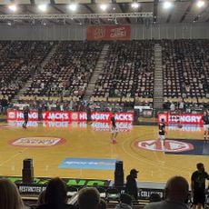
State Basketball Centre
10 km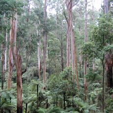
Sherbrooke Forest
7 km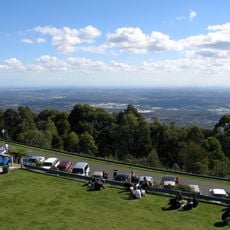
SkyHigh Mount Dandenong
12.7 km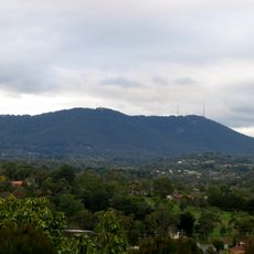
Mount Dandenong
12.8 km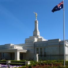
Melbourne Australia Temple
10.7 km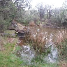
Churchill National Park
3.9 km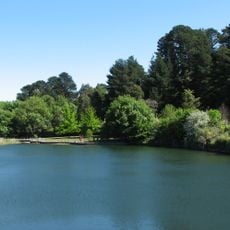
Wilson Botanic Park
10.6 km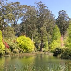
National Rhododendron Garden
10.9 km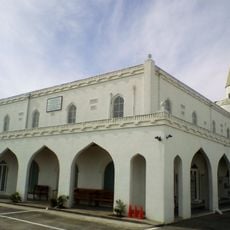
Albanian Mosque, Dandenong
10.5 km
Athan House
11.4 km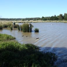
Bushy Park Wetlands
12.2 km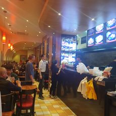
China Bar
13.5 km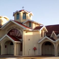
St. Dimitrija Solunski Macedonian Orthodox Church, Springvale
11.6 km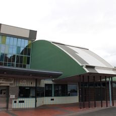
Ringwood Library: Edmond and Corrigan
14.9 km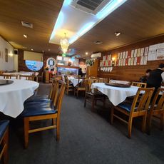
Rock Kung Chinese Restaurant
13.6 km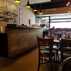
Black Toro
13.6 km
Strike Bowling
13.4 km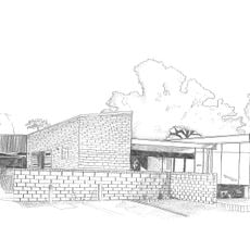
UnitingCare Connections
9.9 km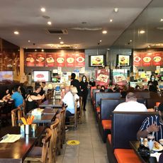
Petaling Street
13.5 km
Ocean King Chinese Restaurant
13.6 km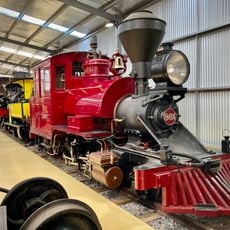
Puffing Billy Railway Menzies Creek Museum
9.1 km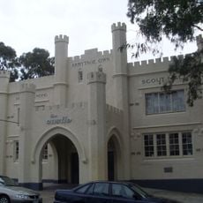
1st Dandenong Scout Group Armytage Own Scout Hall
9.6 km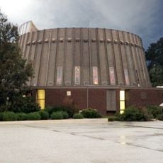
Religious Centre
14.9 kmReviews
Visited this place? Tap the stars to rate it and share your experience / photos with the community! Try now! You can cancel it anytime.
Discover hidden gems everywhere you go!
From secret cafés to breathtaking viewpoints, skip the crowded tourist spots and find places that match your style. Our app makes it easy with voice search, smart filtering, route optimization, and insider tips from travelers worldwide. Download now for the complete mobile experience.

A unique approach to discovering new places❞
— Le Figaro
All the places worth exploring❞
— France Info
A tailor-made excursion in just a few clicks❞
— 20 Minutes