
Hay Shire Council, local government area in New South Wales, Australia
Phone: +61269931003
Email: mail@hay.nsw.gov.au
Website: https://hay.nsw.gov.au
GPS coordinates: -34.15730,144.89039
Latest update: March 3, 2025 17:09
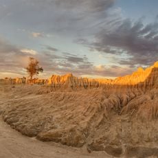
Mungo National Park
180.8 km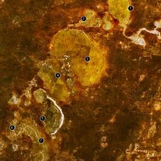
Willandra Lakes Region
179.4 km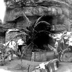
Hermit's Cave
109.1 km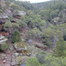
Cocoparra National Park
122.9 km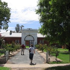
Hay Gaol
39.3 km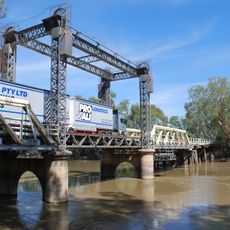
Tooleybuc Bridge
172.5 km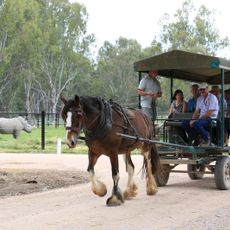
Altina Wildlife Park
119 km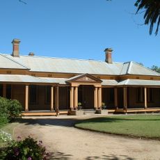
Bishops Lodge
40.5 km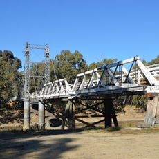
Carrathool Bridge over Murrumbidgee River
58.4 km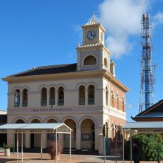
Hay Post Office
39.4 km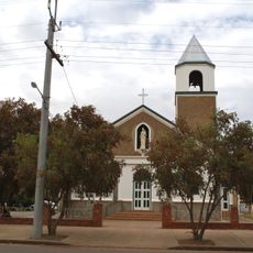
Our Lady of Pompeii Roman Catholic Church, Yoogali
110.9 km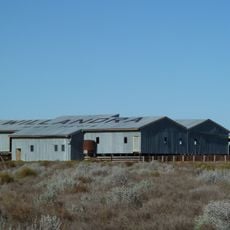
Willandra Homestead
108.9 km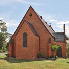
Old St Paul's Anglican Church, Deniliquin
153 km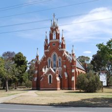
St Andrew's Uniting Church, Deniliquin
153.2 km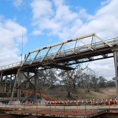
Coonamit Bridge over Wakool River
155.3 km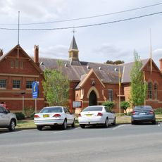
Deniliquin Public School and School Master's Residence
152.8 km
The Depot
153.3 km
Balranald Discovery Centre
133.1 km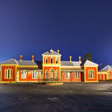
Hay Railway Station
38.3 km
Pioneer Park Museum
108 km
Mcleans Beach
151.3 km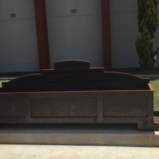
Bills horse trough reproduction, Griffith
106.5 km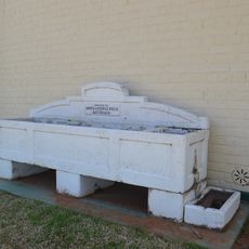
Horse trough
133.1 km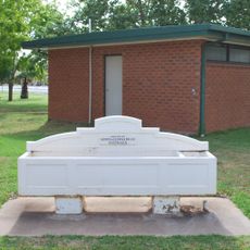
Horse trough
111.8 km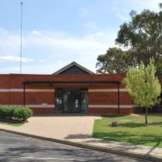
Deniliquin Library
152.8 km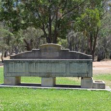
Horse trough
130.2 km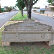
Horse trough
120.6 km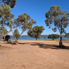
Lake Wyangan Oasis
104.1 kmReviews
Visited this place? Tap the stars to rate it and share your experience / photos with the community! Try now! You can cancel it anytime.
Discover hidden gems everywhere you go!
From secret cafés to breathtaking viewpoints, skip the crowded tourist spots and find places that match your style. Our app makes it easy with voice search, smart filtering, route optimization, and insider tips from travelers worldwide. Download now for the complete mobile experience.

A unique approach to discovering new places❞
— Le Figaro
All the places worth exploring❞
— France Info
A tailor-made excursion in just a few clicks❞
— 20 Minutes