
Kentish, local government area in Tasmania, Australia
Phone: +61364910200
Email: council@kentish.tas.gov.au
Website: https://kentish.tas.gov.au
GPS coordinates: -41.46331,146.15454
Latest update: March 8, 2025 22:28
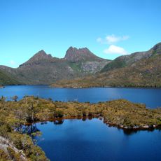
Cradle Mountain
29.9 km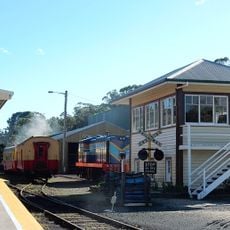
Don River Railway
34.3 km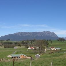
Mount Roland Conservation Area
11.2 km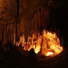
Mole Creek Karst National Park
19.2 km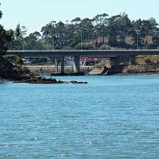
Victoria Bridge, Devonport
35 km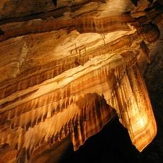
Gunns Plains Cave
22.4 km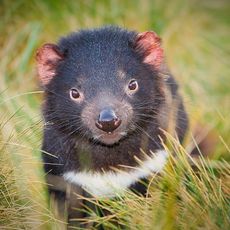
Devils@Cradle
23.3 km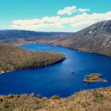
Artillery Knob
27.4 km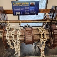
Bass Strait Maritime Centre
37.3 km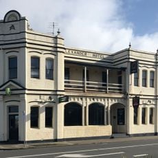
Alexander Hotel
35.9 km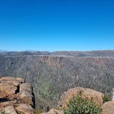
Devil Gullets Lookout
26.8 km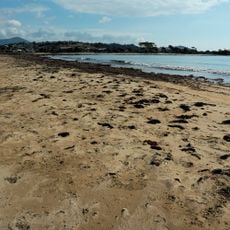
Buttons Beach
34.9 km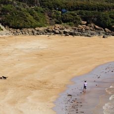
Back Beach
37.5 km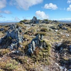
Brewery Knob
28.7 km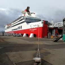
Devonport Port
36.2 km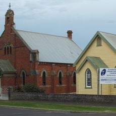
St Andrew's Presbyterian Church
34.2 km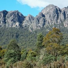
Mount Roland
9.3 km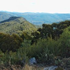
Round Mountain lookout
2.8 km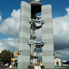
Clock Tower
34 km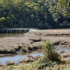
Footbridge
35 km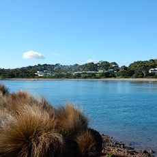
Don River
36.8 km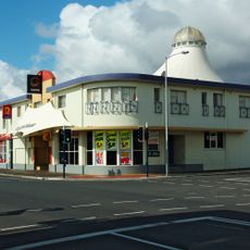
Lighthouse-Hotel Ulverstone, Tasmania
34.1 km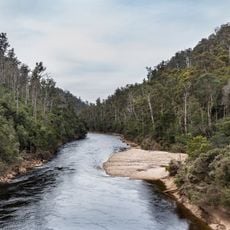
Forth River, Tasmania
1.8 km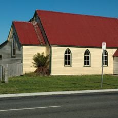
Sheffield church, Tasmania
17.2 km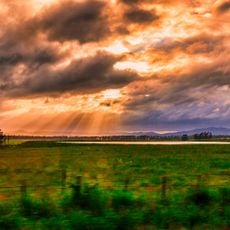
Countryside Tasmania
32.5 km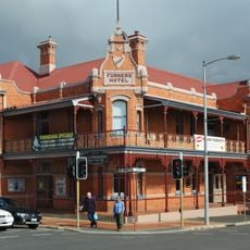
Furners-Hotel Ulverstone, Tasmania
34.1 km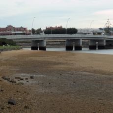
Bridge
34.1 km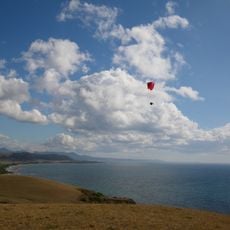
Don Heads
36.6 kmReviews
Visited this place? Tap the stars to rate it and share your experience / photos with the community! Try now! You can cancel it anytime.
Discover hidden gems everywhere you go!
From secret cafés to breathtaking viewpoints, skip the crowded tourist spots and find places that match your style. Our app makes it easy with voice search, smart filtering, route optimization, and insider tips from travelers worldwide. Download now for the complete mobile experience.

A unique approach to discovering new places❞
— Le Figaro
All the places worth exploring❞
— France Info
A tailor-made excursion in just a few clicks❞
— 20 Minutes