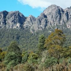
Mount Roland Conservation Area, Nature reserve in Kentish, Tasmania, Australia.
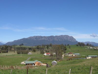
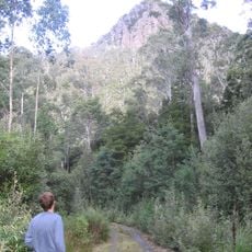
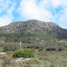
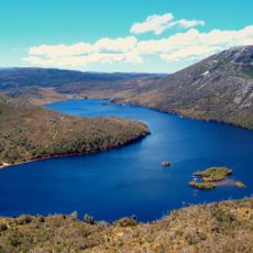
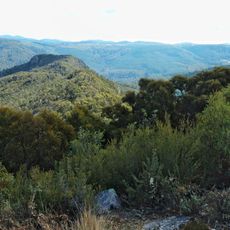
Mount Roland Conservation Area is a nature reserve in Kentish, in northwest Tasmania, built around three peaks. The highest of the three rises to 1,233 ft (1,233 m) and can be seen clearly from the valleys below, along with its neighbours Mount Vandyke and Mount Claude.
The reserve was formally established in 1996 by the Tasmania Parks and Wildlife Service to protect this mountain landscape. Its name comes from Major Roland Brereton, a British officer who explored the area during the 1800s.
The area is named after British Major Roland Brereton, who explored the region in the 1800s. The walking paths here connect people to the rugged landscape and serve as a gathering point for outdoor enthusiasts.
The most popular route to the top starts from Gowrie Park Village and takes several hours to complete as a return walk. Weather can change quickly at this elevation, so warm layers and enough water are worth bringing along.
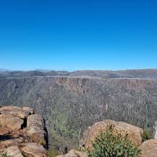
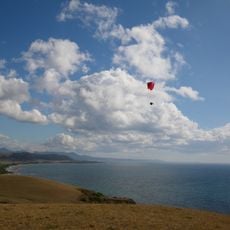
From the summit trig point, you can see Bass Strait, Cradle Mountain, and Barn Bluff all at once. Few spots in Tasmania offer a view that takes in so many of the region's landmarks from a single place.
The community of curious travelers
AroundUs brings together thousands of curated places, local tips, and hidden gems, enriched daily by 60,000 contributors worldwide.