
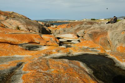
Bay of Fires Conservation Area, conservation area in Tasmania, Australia
Location: Tasmania
Elevation above the sea: 25 m
Website: https://parks.tas.gov.au/index.aspx?base=3999
GPS coordinates: -41.13000,148.26000
Latest update: March 5, 2025 16:22
Amity
97 km
Legges Tor
67.3 km
Douglas-Apsley National Park
71.7 km
Mount Barrow
75.6 km
Mount William National Park
13.1 km
Launceston Gasworks
99.4 km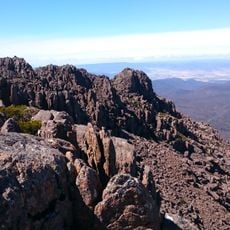
Stacks Bluff
73 km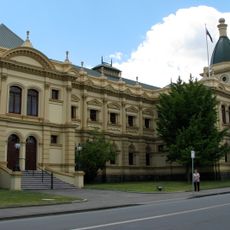
Albert Hall
99.5 km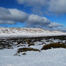
Ben Lomond National Park
69.9 km
Star Theatre
99.5 km
Princess Theatre
99.6 km
Josef Chromy Wines
97.6 km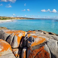
Bay of Fires
3.5 km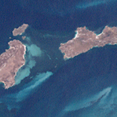
Anderson Islands
93 km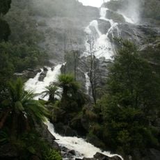
St Columba Falls
35.4 km
Jeanneret Beach
11.4 km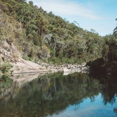
Apsley Conservation Area
81.3 km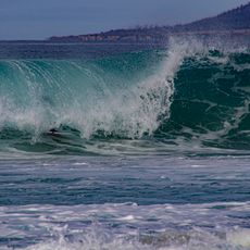
Wrinklers Beach
34.5 km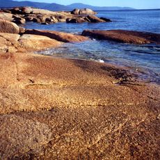
Taylors Beach
6.7 km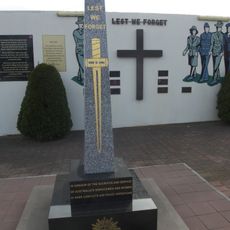
Bicheno War Memorial
82.8 km
Ringarooma hotel
45.6 km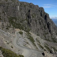
Jacob's Ladder, Ben Lomond National Park
65.7 km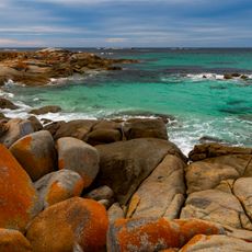
Bay of Fires, Tasmania
4.1 km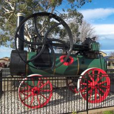
Steam Engine, St Helens, Tasmania
21.2 km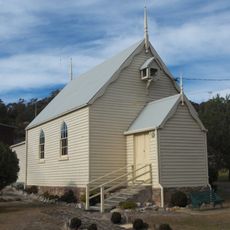
Bicheno Community Church
83.2 km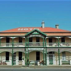
Imperial Hotel Branxholm
44.1 km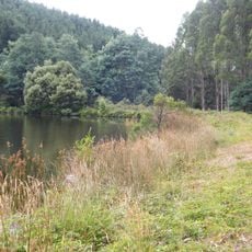
Dam Warrentinna
43 km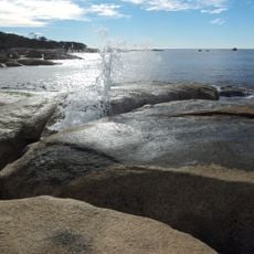
Bicheno Blowhole Tasmania
83.6 kmReviews
Visited this place? Tap the stars to rate it and share your experience / photos with the community! Try now! You can cancel it anytime.
Discover hidden gems everywhere you go!
From secret cafés to breathtaking viewpoints, skip the crowded tourist spots and find places that match your style. Our app makes it easy with voice search, smart filtering, route optimization, and insider tips from travelers worldwide. Download now for the complete mobile experience.

A unique approach to discovering new places❞
— Le Figaro
All the places worth exploring❞
— France Info
A tailor-made excursion in just a few clicks❞
— 20 Minutes