Leeton

Log in to your account

AroundUs is a community-driven map of interesting places, built by curious explorers like you. It grows with every review, story, and photo you share.
Connect to save your favorite spots, contribute locations, and create personalized routes.
Continue with Google
Continue with Apple
Continue with X
Continue with Facebook
Continue with email
By continuing, you accept our Terms and Conditions and our Privacy Policy
Create an account
Add to collection
Map
Suggest a change
Share

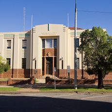
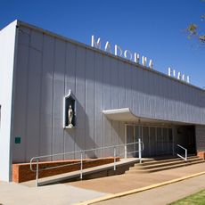
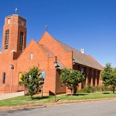
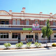
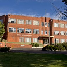
Leeton, Administrative center in Riverina region, New South Wales, Australia

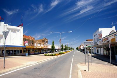
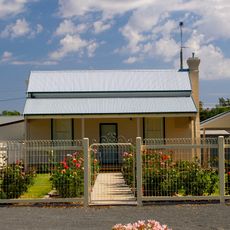
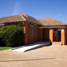
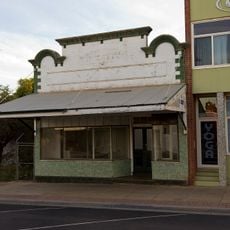
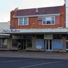
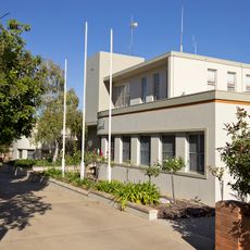
Leeton is an administrative center in the Riverina region of New South Wales, spread across the Murrumbidgee Irrigation Area with grid-pattern streets, residential neighborhoods, and agricultural processing facilities. The town's layout reflects its foundation as a planned settlement shaped by irrigation and farming infrastructure.

Walter Burley Griffin designed this settlement in the early 1900s as part of New South Wales government irrigation projects to develop agricultural communities. The founding was tied directly to opening new irrigated land and establishing farming operations.

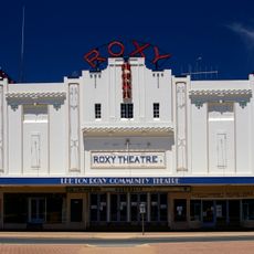
The Roxy Community Theatre hosts regular performances and film screenings, preserving its original 1930s architectural style as a gathering space. The venue reflects how residents connect with arts and entertainment in their community.

The town is easy to navigate thanks to its grid-pattern street system that provides clear orientation. Proximity to agricultural centers and administrative buildings helps visitors find their way around the different areas.

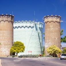
SunRice, one of the world's largest rice producers and exporters, operates its headquarters here and significantly shapes the town's economic identity. The corporation's presence is so central to local life that rice production influences the daily rhythm of the community.

Location: New South Wales

Location: Leeton Shire

Location: Willimbong

Elevation above the sea: 148 m

Shares border with: Gogeldrie, Corbie Hill, Colinroobie, Stanbridge, Brobenah, Merungle Hill, Murrami, Yanco

GPS coordinates: -34.54833,146.40111

Latest update: December 20, 2025 14:42

Photos
Reviews

Visited this place? Tap the stars to rate it and share your experience / photos with the community! Try now! You can cancel it anytime.

« Leeton - Administrative center in Riverina region, New South Wales, Australia » is provided by Around Us (aroundus.com). Images and texts are derived from Wikimedia project under a Creative Commons license. You are allowed to copy, distribute, and modify copies of this page, under the conditions set by the license, as long as this note is clearly visible.

Discover hidden gems everywhere you go!

From secret cafés to breathtaking viewpoints, skip the crowded tourist spots and find places that match your style. Our app makes it easy with voice search, smart filtering, route optimization, and insider tips from travelers worldwide. Download now for the complete mobile experience.

Around Us App Screenshot

A unique approach to discovering new places

Le Figaro

All the places worth exploring

France Info

A tailor-made excursion in just a few clicks

20 Minutes