Riverina, Electoral division in New South Wales, Australia.
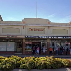
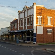
The Division of Riverina is an agricultural electoral territory in New South Wales that spans multiple regional councils and local government areas. The area includes Wagga Wagga as its main urban center, along with various smaller towns distributed across the region.
The electoral division was created in 1900 as one of the original federal electoral districts. Over the decades, the boundaries and name underwent changes, with significant adjustments occurring in the late 1980s and early 1990s.
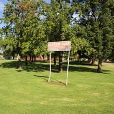
Rural farming communities form the social backbone of this electoral area, with agriculture shaping daily life and local traditions. The region's identity is rooted in agricultural heritage, which remains visible in how towns and villages are organized around farming seasons and practices.
The electoral area covers multiple local government regions, making it helpful to refer to official maps to understand where boundaries lie. This information is useful for residents who need to know which electorate they belong to for voting purposes.
The region has historically maintained strong voting engagement and has been represented by influential political figures at national level. This representation has given it prominence in federal politics despite its rural character.
The community of curious travelers
AroundUs brings together thousands of curated places, local tips, and hidden gems, enriched daily by 60,000 contributors worldwide.