
Goulburn, parish of Argyle County, New South Wales, Australia
Location: New South Wales
Location: Argyle
Location: Goulburn Mulwaree Council
GPS coordinates: -34.76500,149.70111
Latest update: April 16, 2025 04:35
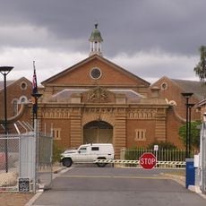
Goulburn Correctional Centre
4.5 km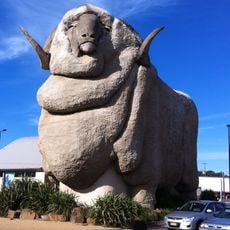
Big Merino
1.3 km
St. John's Orphanage
897 m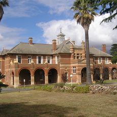
Kenmore Asylum
7.2 km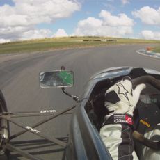
Wakefield Park
8.5 km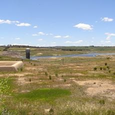
Pejar Dam
23.4 km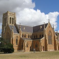
St Saviour's Cathedral, Goulburn
1.9 km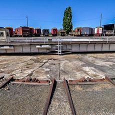
Goulburn Rail Heritage Centre
1.4 km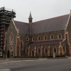
Saints Peter and Paul's Old Cathedral
1.6 km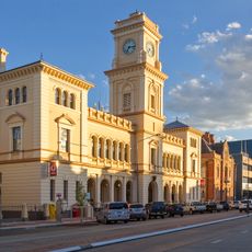
Goulburn Post Office
1.9 km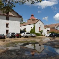
Old Goulburn Brewery
1.9 km
Bungonia National Park
29.7 km
Riversdale
4.7 km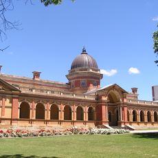
Goulburn Court House
1.9 km
Goulburn Railway Workshops
1.6 km
Catholic Church of Christ the King
41.5 km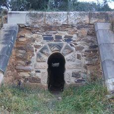
Towrang Convict Stockade
12.2 km
Connollys Mill
2.5 km
Rossi Bridge over Wollondilly River
4 km
Alpine Lodge Motel
1.9 km
St Clair, Goulburn
2.6 km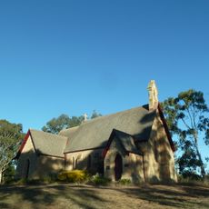
Christ Church Anglican Church, Bungonia
24.5 km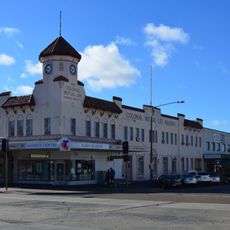
Colonial Mutual Life Building, Goulburn
2.2 km
Goulburn Pumping Station
3.1 km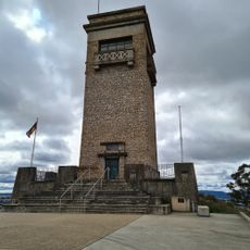
Rocky Hill War Memorial and Museum
3.4 km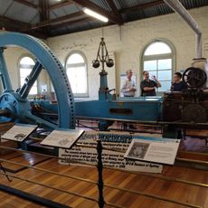
Goulburn Historic Waterworks Museum
3 km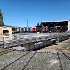
Goulburn Rail Heritage Centre
1.3 km
Gunning Library
39.8 kmReviews
Visited this place? Tap the stars to rate it and share your experience / photos with the community! Try now! You can cancel it anytime.
Discover hidden gems everywhere you go!
From secret cafés to breathtaking viewpoints, skip the crowded tourist spots and find places that match your style. Our app makes it easy with voice search, smart filtering, route optimization, and insider tips from travelers worldwide. Download now for the complete mobile experience.

A unique approach to discovering new places❞
— Le Figaro
All the places worth exploring❞
— France Info
A tailor-made excursion in just a few clicks❞
— 20 Minutes