Mount Majura, Mountain summit in Canberra, Australia.
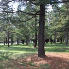
Mount Majura is a summit in the northern part of Canberra, Australia, reaching around 888 meters (2,913 ft) above sea level. It sits within the Mount Majura Nature Reserve, a protected area of eucalypt woodland and open grassland on the edge of the city.
Mount Majura was named by Robert Campbell, an early landowner in the region, and appeared on Thomas Mitchell's survey map of 1831. The surrounding land was later set aside as a nature reserve to protect the woodland from urban expansion.
The name Majura comes from the Ngunnawal language, reflecting the deep connection this land holds for the local Aboriginal people. Walkers on the trail today follow paths that have been used for generations to cross between valleys and ridges.
Marked trails lead to the summit through woodland and open terrain, so sturdy footwear is a good idea. The area is more popular on weekends and in fine weather, so an early start gives a quieter experience.
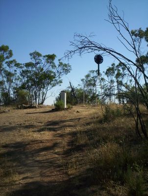
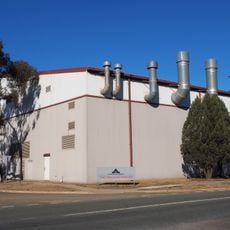
The summit of Mount Majura is home to radar equipment used by Canberra Airport, making it one of the few walking destinations in Australia where you reach the top and find active aviation infrastructure. The equipment is visible from the trail, giving the summit an unexpected industrial character.
The community of curious travelers
AroundUs brings together thousands of curated places, local tips, and hidden gems, enriched daily by 60,000 contributors worldwide.