Enable Location

We need your location to show you interesting places around you

Discover nearby places

Find interesting locations and hidden gems around you

Precise directions

Get accurate directions and distances to places

Your location is never shared with other users. It's only used when you tap the location button.

Queanbeyan

Log in to your account

Start exploring — it's free

Trusted by 62,165 travelers worldwide

Continue with Google
Continue with Apple
or

We will send you a code to connect

By continuing, you accept our Terms and Conditions and our Privacy Policy

Check your inbox

We've sent a pincode in your inbox. Please enter the code below.

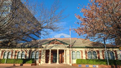
Queanbeyan, Regional administrative center in New South Wales, Australia.

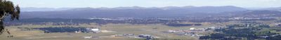
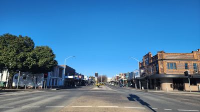
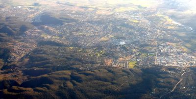
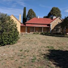
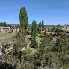
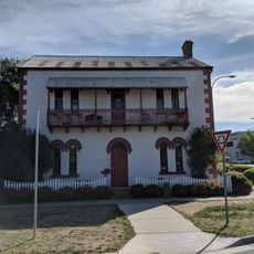
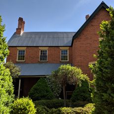
Queanbeyan is a regional city in southeastern Australia bordering the Australian Capital Territory and intersected by the Queanbeyan River. The city spreads across a large area with residential neighborhoods, business districts, and public facilities that serve the local population.

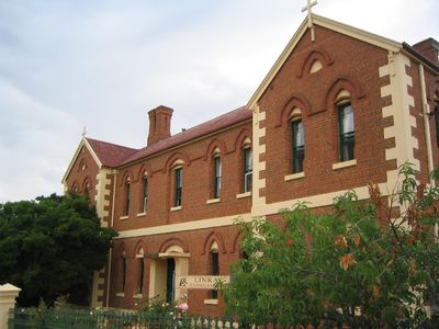
The area was originally inhabited by Aboriginal people and developed into a European settlement after 1838. The name comes from an Aboriginal language and refers to clear water, reflecting the importance of the river to early inhabitants.

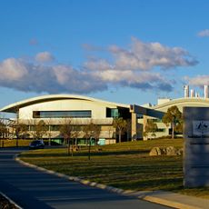
The Queanbeyan Performing Arts Centre serves as a gathering place where locals watch theater productions and attend community events throughout the year. These performances shape how residents spend their leisure time and connect with their neighbors.

The city offers three public high schools, a district hospital, and regular bus services connecting to Canberra. These transportation links make it easy to explore the area and reach the nearby capital city.

In 2016, two local councils merged to form the Queanbeyan-Palerang Regional Council. This amalgamation reshaped local government and created a larger administrative structure serving the wider region.

The community of curious travelers

AroundUs brings together thousands of curated places, local tips, and hidden gems, enriched daily by 60,000 contributors worldwide.

Start exploring
Location
Elevation above the sea
576 m
Part of
Canberra - Queanbeyan
Shares border with
ACT Remainder - Majura, Oaks Estate, Crestwood, Greenleigh, Karabar, Queanbeyan East, Queanbeyan West
GPS coordinates
-35.35333,149.23417
Latest update
December 14, 2025 18:11
« Queanbeyan - Regional administrative center in New South Wales, Australia » is provided by Around Us (aroundus.com). Images and texts are derived from Wikimedia project under a Creative Commons license. You are allowed to copy, distribute, and modify copies of this page, under the conditions set by the license, as long as this note is clearly visible.

Discover hidden gems everywhere you go!

From secret cafés to breathtaking viewpoints, skip the crowded tourist spots and find places that match your style. Our app makes it easy with voice search, smart filtering, route optimization, and insider tips from travelers worldwide. Download now for the complete mobile experience.

Around Us App Screenshot

A unique approach to discovering new places

Le Figaro

All the places worth exploring

France Info

A tailor-made excursion in just a few clicks

20 Minutes

Around Us
Travel Guide & Maps
Download

Send to your phone

QR Code
1

Open the camera app on your mobile.

2

Point at the QR code with your camera. A notification will appear.

3

Tap the notification to open the link.