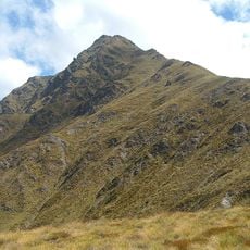
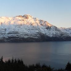
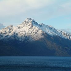
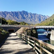
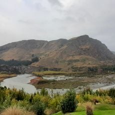
Southern Lakes, Glacial lakes and mountain ranges in South Island, New Zealand.
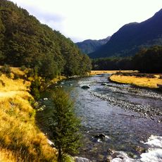
The Southern Lakes is an unofficial name for an area of the southern South Island of New Zealand, covering parts of western Southland, including Fiordland, and Central Otago, and sometimes extended to the Mackenzie Basin of inland Canterbury. Glaciation during the last ice age left broad U-shaped valleys, several filled by large lakes such as Lake Hauroko, the country's deepest, and Lakes Wakatipu, Wānaka and Hāwea, which feed the Clutha River.
The Southern Lakes is an unofficial name; the area's landforms were shaped by heavy glaciation during the last ice age, which left broad U-shaped valleys, several filled by large lakes. The Clutha River, the country's second-longest, drains Lakes Wakatipu, Wānaka and Hāwea, while Te Anau and Manapouri feed the Waiau system. Hydroelectric dams at Clyde and Roxburgh created the artificial lakes Dunstan and Roxburgh.
The name Southern Lakes is unofficial, yet the New Zealand Meteorological Service and the Automobile Association use it. The lakes carry Maori names such as Wakatipu, Wanaka, Hawea, Te Anau and Hauroko, alongside the artificial lakes Dunstan and Roxburgh, formed by hydroelectric dams at Clyde and Roxburgh. Queenstown, Wanaka and Te Anau are the main population centres.
Major towns like Queenstown and Wanaka are connected by regular bus services for basic transportation. Renting a car provides much more freedom to explore remote areas, smaller lakes, and mountain roads at your own pace.
Lake Pukaki displays a striking turquoise color caused by fine glacial particles suspended in the water. This hue shifts with lighting and seasons, creating different visual impressions depending on when you visit.
The community of curious travelers
AroundUs brings together thousands of curated places, local tips, and hidden gems, enriched daily by 94,607 contributors worldwide.