Cecil Peak, Mountain summit near Queenstown, New Zealand
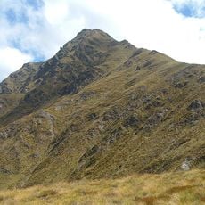
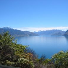
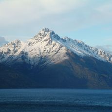
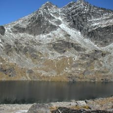
Cecil Peak is a 1,978-metre mountain on the south side of Lake Wakatipu, about 8 km south of Queenstown. It is the highest point of a 19 km-long massif in the Eyre Mountains, with grass and tussock under a pastoral lease and trees near the waterline. Hidden Island lies close to its shoreline.
Surveyor James McKerrow named the mountain in 1862 after William Rees' eldest son, establishing it as an important landmark for early settlers navigating the region. This naming reflects the peak's role in the early days of European exploration and settlement around Queenstown.
Māori had no separate name for the summit alone; they called the whole massif Kā Kamu-a-Hakitekura. Surveyor James McKerrow gave the peak its English name in the 1860s while mapping the range.
Cecil Peak has no road access: the massif can only be reached from Lake Wakatipu, and Mount Nicholas Road ends at the lake shore west of the peak. There is no marked summit trail, so any ascent must be arranged by boat and planned with the pastoral lease and weather in mind.
A local band performed Pink Floyd songs in a natural rock formation on the mountain slopes during March 2010. This unexpected musical event at this remote location shows how creatively people use the mountain.
The community of curious travelers
AroundUs brings together thousands of curated places, local tips, and hidden gems, enriched daily by 93,405 contributors worldwide.