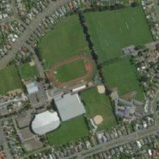
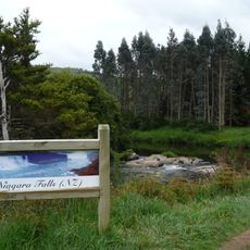
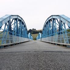
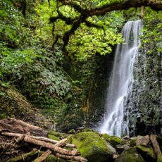
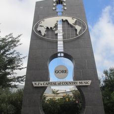
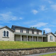
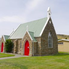
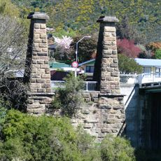
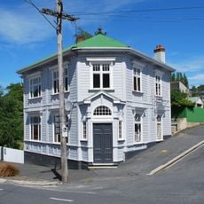
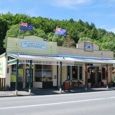
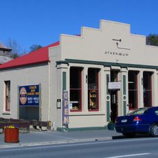
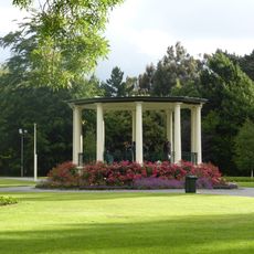
Gore District, district in Southland Region, New Zealand
Location: Southland Region
Inception: 1989
Elevation above the sea: 94 m
Shares border with: Clutha District, Southland District
Website: http://goredc.govt.nz
GPS coordinates: -46.04500,169.00600
Latest update: March 11, 2025 00:32
Stadium Southland
62.8 km
Southland Museum and Art Gallery
64.3 km
Queen's Park, Invercargill
63.9 km
McLean Falls
64.2 km
Balclutha Road Bridge
60.8 km
Niagara Falls
62 km
Eastern Southland Gallery
7.5 km
Millers Flat Bridge
52.7 km
Matai Falls
63.1 km
Big Guitar
10.8 km
St Patricks Church School and Hall
54.7 km
War Memorial and Peace Garden
54.4 km
Lawrence Post Office
54.5 km
F. Martin Building
54.5 km
Bank of New Zealand Building
54.6 km
Tuapeka Mouth Punt and Jetty
39 km
Invercargill Water Tower
64 km
Water Works Control Building
64 km
St Stephen's Church
62.8 km
Lawrence Court House
54.5 km
St James' Church
61 km
Roxburgh Bridge pier and tower remains
61.1 km
Bank of New South Wales
54.5 km
Shops
54.7 km
Southland Boys' High School Central Block
63.2 km
Gore Presbyterian Church
7.2 km
Tuapeka Times Office
54.7 km
Band Rotunda, Invercargill
64 kmReviews
Visited this place? Tap the stars to rate it and share your experience / photos with the community! Try now! You can cancel it anytime.
Discover hidden gems everywhere you go!
From secret cafés to breathtaking viewpoints, skip the crowded tourist spots and find places that match your style. Our app makes it easy with voice search, smart filtering, route optimization, and insider tips from travelers worldwide. Download now for the complete mobile experience.
A unique approach to discovering new places❞
— Le Figaro
All the places worth exploring❞
— France Info
A tailor-made excursion in just a few clicks❞
— 20 Minutes