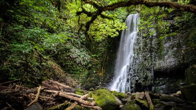
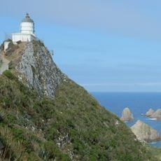
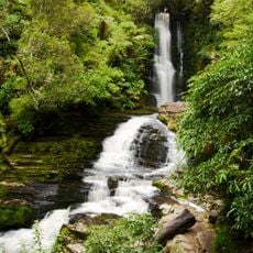
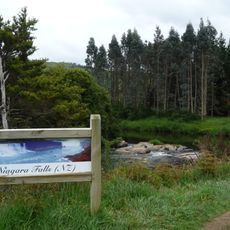
Matai Falls, 97-meter waterfall in Catlins Forest Park, New Zealand.
Matai Falls is a waterfall in Catlins Forest Park where water plunges over a rectangular rocky ledge into a forested valley below. The surrounding landscape is densely covered with podocarp trees and native broadleaf forest typical of this South Island region.
The area was traveled by Māori people for generations before European settlers arrived in the 1800s to explore the region. Improved road access from the late 1990s onward gradually brought more visitors to the site.
The Department of Conservation manages this natural site within the Catlins region, preserving its environment for future generations to experience.
A walking track of about 1.6 kilometers leads from the marked parking area on the Southern Scenic Route to the waterfall. The path is well-marked and offers moderate walking without significant steep sections.
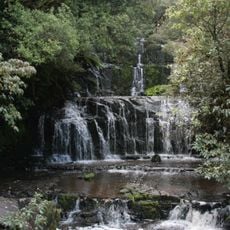
A connecting path leads to nearby Horseshoe Falls, allowing visitors to see two different waterfall formations in the same forest setting. This combination offers two distinct natural experiences without requiring separate trips.
The community of curious travelers
AroundUs brings together thousands of curated places, local tips, and hidden gems, enriched daily by 60,000 contributors worldwide.