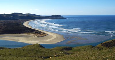
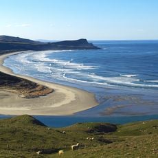
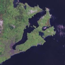
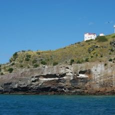
Papanui Inlet, Pacific coastal inlet in Otago Peninsula, New Zealand.
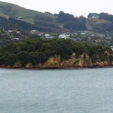
Papanui Inlet is an inlet on the eastern coast of Otago Peninsula that reveals extensive sand and mud flats when the tide goes out. The southern side features steep hills, while the northern shore is defined by the low-lying Okia Flat with its wide, open banks.
The inlet formed through natural coastal erosion and sedimentation processes over many thousands of years along the Pacific shore. A striking reminder of human history here is the wreck of the SS Victory from 1861, which remains visible near the inlet's mouth at low tide.
The name Papanui comes from the Māori language and means large plain, originally referring to the dunes and mudflat region to the north. Visitors today can see how this landscape of open, flat terrain still matches the name given centuries ago.
The best time to visit is at low tide, when the mudflats become exposed and the shipwreck becomes visible. Well-maintained roads lead east from Dunedin through the peninsula, making the site accessible by car.
Victory Beach, the longest sandy shore on Otago Peninsula, stretches along Wickliffe Bay just beyond the northern edge of the inlet. This extended coastline offers a striking contrast to the sheltered waters within the inlet itself.
The community of curious travelers
AroundUs brings together thousands of curated places, local tips, and hidden gems, enriched daily by 60,000 contributors worldwide.