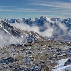
Mount Hutt, Alpine summit in Canterbury, New Zealand.
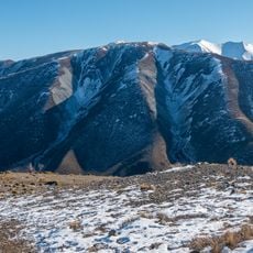
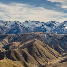
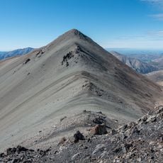
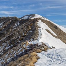
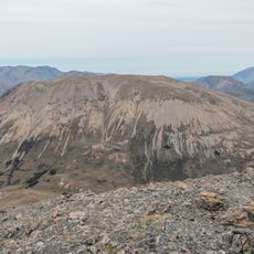
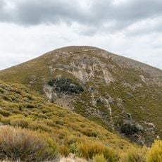
Mount Hutt is a 2,190-metre summit in the Southern Alps, rising west of the Canterbury Plains above the upper Rakaia River. Its southern flanks hold the Mt Hutt ski field, which runs from 1,438 m to 2,086 m, with the base station at 1,610 m. The field's upper runs pass through rock formations known as The Towers and the South Face.
Surveyor Joseph Thomas named the peak after John Hutt, an early member of the Canterbury Association. This namesake played a role in regional development during the 1800s.
The Māori name Ōpuke is rendered by the Ministry for Culture and Heritage as "place of the hill". The peak was named Mount Hutt by surveyor Joseph Thomas after John Hutt, an early Canterbury Association member.
The mountain is accessible during the colder months from June through October using chairlifts and tow lifts. Visitors should expect rapidly changing weather conditions at this altitude and plan accordingly.
Mount Hutt is the type locality for Orocrambus aethonellus, an endemic moth. In summer, four alpine grasshopper species live within the ski field boundary: Sigaus villosus along ridgelines, Brachaspis nivalis on rocky scree, and Sigaus australis and Paprides nitidus in alpine tussocklands.
The community of curious travelers
AroundUs brings together thousands of curated places, local tips, and hidden gems, enriched daily by 94,530 contributors worldwide.