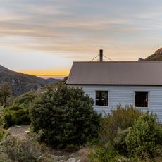
Hakatere Conservation Park, Conservation park in Ashburton District, New Zealand
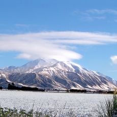
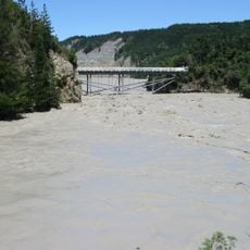
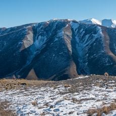
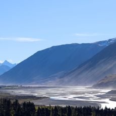
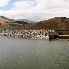
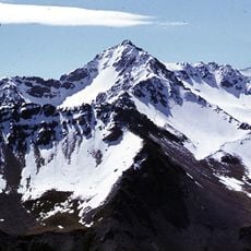
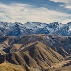
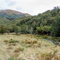
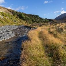
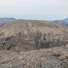
Hakatere Conservation Park is a protected area between the Rangitata and Rakaia Rivers in the Ashburton District of New Zealand's South Island. Established in 2007, it covers 68,000 ha of mountains, mountain basins, tussocklands, beech forest, braided rivers, lakes and wetlands. It is made up of 19 separate conservation areas, including land around Lake Clearwater and the Mount Somers / Te Kiekie tramping area.
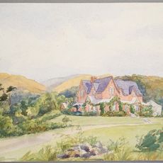
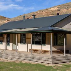
The park bears traces of early pastoral farming through structures like the Lake Emma hut and buildings at Hakatere Station. These historic remnants reveal how the land was once used for livestock grazing before it became a protected area.
The park's name comes from Hakatere Station, the pastoral run whose farmland was bought for the park; the station's land around Lake Clearwater was purchased through the Nature Heritage Fund. The Hakatere Heritage Committee, a local group of conservationists, supports the Department of Conservation in managing the area.
Several entry routes provide access to the park: Ashburton Gorge Road, Hakatere Potts Road, Hakatere Heron Road, and Blackford Road. Plan enough time for your visit and bring appropriate gear suited to seasonal weather and terrain conditions.
The park protects New Zealand's largest complex of kettlehole wetlands, rare marshy depressions with specialized plant life. These habitats shelter uncommon species including the pygmy forget-me-not found nowhere else in such abundance.
The community of curious travelers
AroundUs brings together thousands of curated places, local tips, and hidden gems, enriched daily by 93,404 contributors worldwide.