
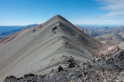
Carn Brea, hill in New Zealand
Location: Canterbury Region
Elevation above the sea: 2,090 m
GPS coordinates: -43.23500,171.64400
Latest update: May 11, 2025 14:15
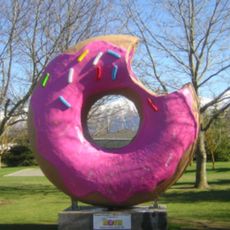
Springfield Doughnut
25.7 km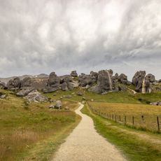
Castle Hill
5.9 km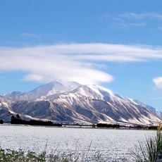
Mount Hutt
28 km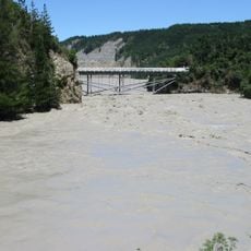
Rakaia Gorge
31.5 km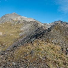
Mount Cheeseman
7.3 km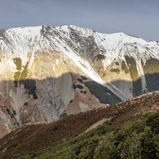
Craigieburn Forest Park
17.4 km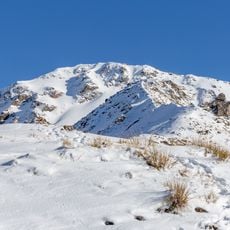
Avalanche Peak
33.7 km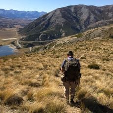
Korowai / Torlesse Tussocklands Park
12.4 km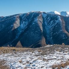
Mount Lyndon
7.2 km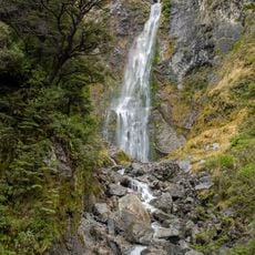
Devils Punchbowl Falls
34.2 km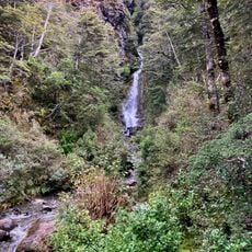
Avalanche Creek Falls
33.5 km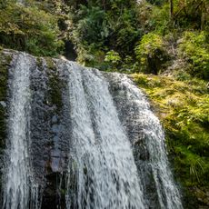
Ryde Falls
34.1 km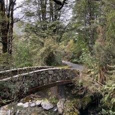
Millennium Walk
33.5 km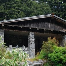
Aniwaniwa
34.2 km
Benmore Track
17.5 km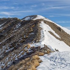
Junction Peak
14.2 km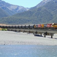
Kiwirail bridge 42
25.5 km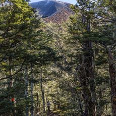
Helicopter Hill Track
12.6 km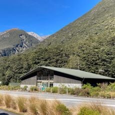
Arthur's Pass Visitor Centre
33.3 km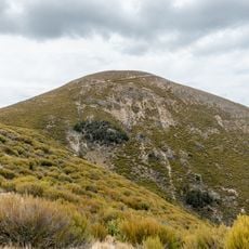
Annavale Circuit
18.7 km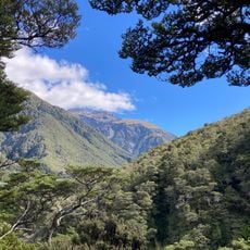
Devils Punchbowl Walking Track
34.2 km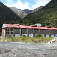
Engine Shed
32.9 km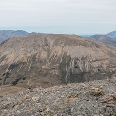
Gargarus
13.6 km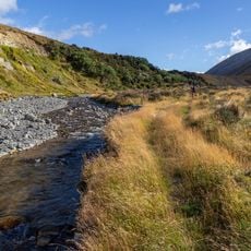
Cookies Flat
27.5 km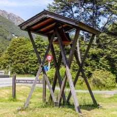
Arthur's Pass bell tower
33.5 km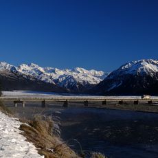
Bealey Bridge
24.3 km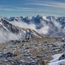
Red Peak
12.8 km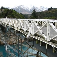
Old Rakaia Gorge Bridge
31.5 kmVisited this place? Tap the stars to rate it and share your experience / photos with the community! Try now! You can cancel it anytime.
Discover hidden gems everywhere you go!
From secret cafés to breathtaking viewpoints, skip the crowded tourist spots and find places that match your style. Our app makes it easy with voice search, smart filtering, route optimization, and insider tips from travelers worldwide. Download now for the complete mobile experience.

A unique approach to discovering new places❞
— Le Figaro
All the places worth exploring❞
— France Info
A tailor-made excursion in just a few clicks❞
— 20 Minutes