Waimakariri River, Alpine river in Canterbury Region, New Zealand.
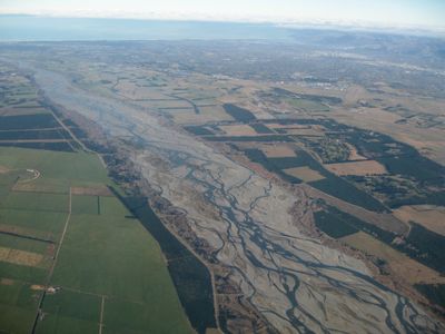
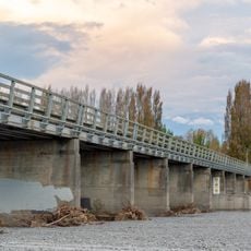
The Waimakariri River flows from the Southern Alps across the Canterbury Plains toward the Pacific Ocean, creating multiple braided channels through shingle beds. Its course shows constant change as water redistributes gravel and shapes the riverbed with each season.
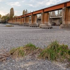
The Canterbury Rivers Act of 1868 initiated construction of flood protection systems along this river to defend Christchurch and nearby settlements. These early interventions shaped how the region manages water and land, addressing the destructive flooding that once threatened communities.
The name comes from Māori words 'wai' and 'makariri', meaning cold water, reflecting the icy nature of this river. For local communities, it represents a deep connection to the land and natural cycles that shape the region.
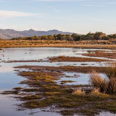
The surrounding regional park provides opportunities for mountain biking, horseback riding, fishing, and walking at various levels of difficulty. The best time to visit is during warmer months when trails are most accessible and conditions suit outdoor activities.
The river undergoes dramatic changes in form, particularly at the Waimakariri Gorge where it exits the Southern Alps foothills and transitions from narrow channels to wide shingle beds. This shifting landscape tells a story of how water shapes terrain over time.
The community of curious travelers
AroundUs brings together thousands of curated places, local tips, and hidden gems, enriched daily by 60,000 contributors worldwide.