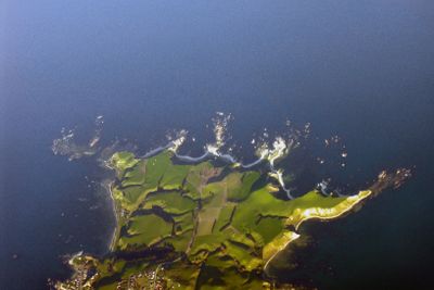
Kaikōura Peninsula, Coastal peninsula in Kaikōura District, New Zealand
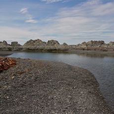
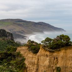
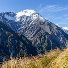
Kaikōura Peninsula is a landform that extends about 5 kilometers into the Pacific Ocean, marked by limestone cliffs and wave-cut platforms around its perimeter. The coastline reveals different geological formations shaped by ongoing erosion and movement.
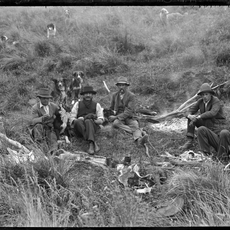
European whaling operations started in 1842 when Robert Fyffe established the first station and continued until 1922 when the industry ended in the region. This period deeply shaped the settlement and use of the peninsula.
The peninsula holds deep meaning in Māori tradition as the place where ancestor Māui discovered the North Island according to oral history. This cultural heritage shapes the identity of the location and draws visitors who want to understand this spiritual connection.
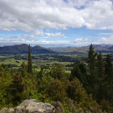
Several walking tracks cross the peninsula and provide year-round access to observe marine wildlife and geological formations. The trails vary in length and difficulty, so it helps to bring a map or guide to find the best route for your fitness level.
The 2016 earthquake lifted the entire formation approximately two meters above its previous position and permanently changed the landscape. This geological shift is a visible sign of tectonic power and shapes how the place looks today.
The community of curious travelers
AroundUs brings together thousands of curated places, local tips, and hidden gems, enriched daily by 60,000 contributors worldwide.