Enable Location

We need your location to show you interesting places around you

Discover nearby places

Find interesting locations and hidden gems around you

Precise directions

Get accurate directions and distances to places

Your location is never shared with other users. It's only used when you tap the location button.

Wangapeka Track

Log in to your account

Start exploring — it's free

Trusted by 62,807 travelers worldwide

Continue with Google
Continue with Apple
or

We will send you a code to connect

By continuing, you accept our Terms and Conditions and our Privacy Policy

Check your inbox

We've sent a pincode in your inbox. Please enter the code below.

Wangapeka Track

Wangapeka Track, Mountain hiking trail in Kahurangi National Park, New Zealand

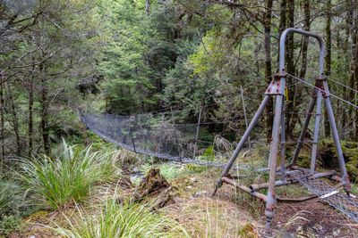
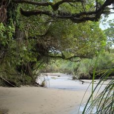
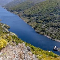
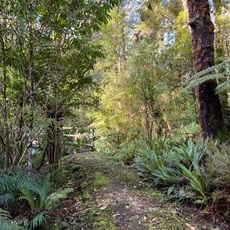
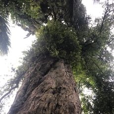
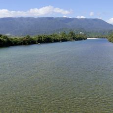
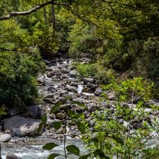
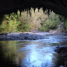
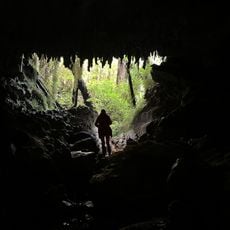
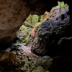
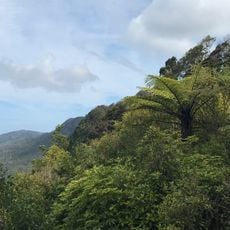
The Wangapeka Track is a multi-day hiking route through Kahurangi National Park, passing through dense beech forests, mountain streams, and crossing two high passes. The trail connects Rolling River to Wangapeka Road, taking hikers through varied terrain and elevations.

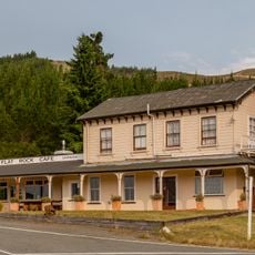
The trail began in 1861 following gold discoveries in the Wangapeka River valley, with miners building it under provincial council funding. This early route opened access to new goldfields and shaped regional development.

The track follows valleys that Māori peoples historically traveled through as a route across the landscape. Visitors today walk through the same terrain that has connected communities for generations.

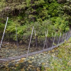
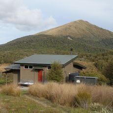
The hike takes four to six days with eight Department of Conservation huts spaced along the route. Visitors should be well-prepared for mountain conditions, particularly rapid weather changes and wet terrain.

The trail offers chances to spot the rare whio blue duck in its natural setting. This species appears on New Zealand currency, reflecting the importance placed on protecting these habitats.

The community of curious travelers

AroundUs brings together thousands of curated places, local tips, and hidden gems, enriched daily by 60,000 contributors worldwide.

Start exploring
GPS coordinates
-41.43333,172.41667
Latest update
December 13, 2025 17:09
« Wangapeka Track - Mountain hiking trail in Kahurangi National Park, New Zealand » is provided by Around Us (aroundus.com). Images and texts are derived from Wikimedia project under a Creative Commons license. You are allowed to copy, distribute, and modify copies of this page, under the conditions set by the license, as long as this note is clearly visible.

Discover hidden gems everywhere you go!

From secret cafés to breathtaking viewpoints, skip the crowded tourist spots and find places that match your style. Our app makes it easy with voice search, smart filtering, route optimization, and insider tips from travelers worldwide. Download now for the complete mobile experience.

Around Us App Screenshot

A unique approach to discovering new places

Le Figaro

All the places worth exploring

France Info

A tailor-made excursion in just a few clicks

20 Minutes

Around Us
Travel Guide & Maps
Download

Send to your phone

QR Code
1

Open the camera app on your mobile.

2

Point at the QR code with your camera. A notification will appear.

3

Tap the notification to open the link.