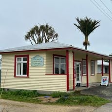
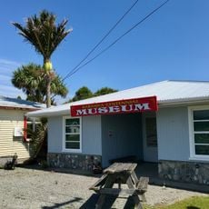
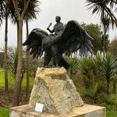
Kahurangi National Park, National park in the South Island, New Zealand
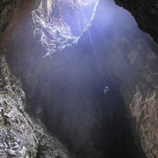
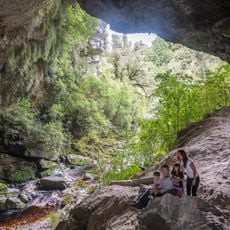
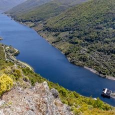
Kahurangi National Park lies in the northwest of New Zealand's South Island, from the Buller River near Murchison north to the base of Farewell Spit. It has no single dominant landform: mountain ranges, river gorges, raised peneplains and karst with caves and arches sit side by side, and its rock sequence is the most diverse of any protected area in the country.
The protected area was established in 1996, extending protection across natural landscapes and archaeological sites in the region. The area had been a focal point for human settlement over many centuries, particularly along the coastline.
Kahurangi means roughly "valuable possession" in te reo Māori. From about 1380 CE Māori settled the coastline, leaving pā sites on coastal ridges and middens at river mouths such as the Whakapoāi (Heaphy River), where bush moa, kekeno and kurī were hunted. Ngāti Tūmatakōkiri held mana whenua from the early 1600s until the early 1800s.
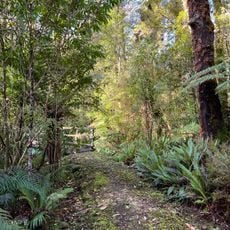
Access from the west is only via State Highway 60 over the Tākaka Hill Saddle, the sole sealed crossing of the Wharepapa / Arthur Range. The Heaphy Track runs 78.4 km through the park, and the 87,000 ha Tasman Wilderness Area at its heart has no tracks or human structures.
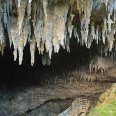
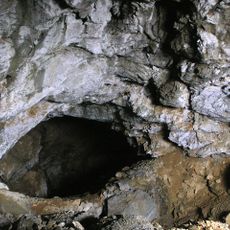
The park's Oparara Basin holds limestone arches and caves, including the Oparara Arch, formed in karst terrain that also includes New Zealand's longest cave system. The 87,000 ha Tasman Wilderness Area at the park's heart has no tracks or human structures at all.
The community of curious travelers
AroundUs brings together thousands of curated places, local tips, and hidden gems, enriched daily by 93,936 contributors worldwide.