Abel Tasman National Park, National park in Tasman District, New Zealand
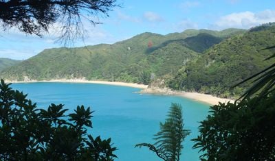
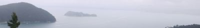
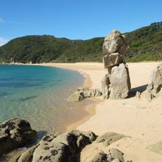
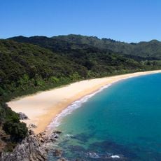
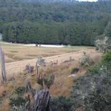
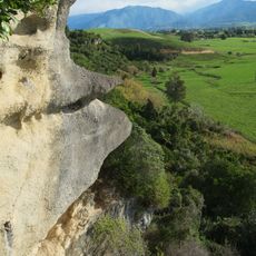
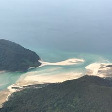
Abel Tasman National Park is a protected area on the northern coast of New Zealand's South Island, covering forests, beaches, and rocky headlands. The coastline runs for a long stretch along Tasman Bay, showing granite formations, golden sand, and dense vegetation reaching down to the water.
The region was sighted in 1642 by a European explorer but remained largely unsettled from a European perspective. In the 20th century the area gained protected status and was officially declared a national park in 1942.
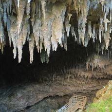
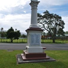
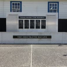
The name honors the Dutch seafarer who first charted this coastline for European maps. Visitors still find traces of Māori occupation in sheltered bays where fishing and gardening once sustained communities.
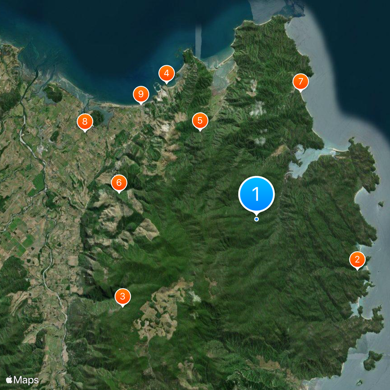
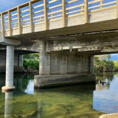
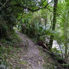
Water taxis depart from the coastal towns of Marahau and Kaiteriteri, bringing travelers to several landing points along the coast. Those planning walks should check tides and weather conditions, as some sections are passable only at low tide.
The marine reserve off the coast holds underwater caves and tunnels where seals, dolphins, and penguins swim in their natural habitat. Snorkelers and kayakers often encounter the animals up close in the calm bays.
The community of curious travelers
AroundUs brings together thousands of curated places, local tips, and hidden gems, enriched daily by 60,000 contributors worldwide.