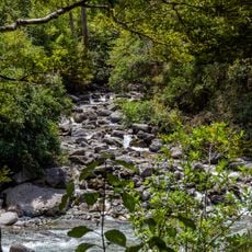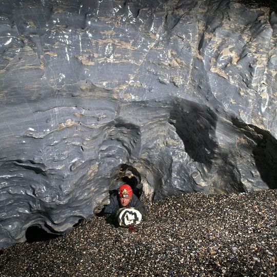
Nettlebed Cave, Limestone cave in Mount Arthur, New Zealand.
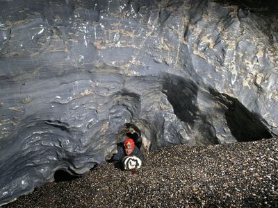
Nettlebed Cave is a limestone cave system in the Mount Arthur region of Kahurangi National Park, on the South Island of New Zealand. Its passages run northwest beneath the Wharepapa / Arthur Range, developed in Arthur Marble. The system connects to Stormy Pot, and its surveyed length is about 48 kilometres, from the Big Friendly Giant upper entrance to the Pearse River resurgence.
The cave was first discovered in 1969 and explored between 1979 and 1984 through five consecutive Christmas expeditions. These expeditions led to the mapping of additional 20 kilometers of passages and the discovery of further underground areas.
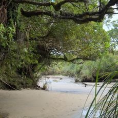
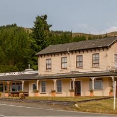
The name comes from ongaonga, the endemic tree nettle (Urtica ferox) growing near the lower entrance; "bed" refers to the nettle bed. The name was registered by the New Zealand Speleological Society rather than being an official geographic name. Cavers still use underground camps such as Salvation Hall and Soft Rock Cafe, and the Pearse Resurgence is the source of the Pearse Stream.
Trips need a permit from the Department of Conservation, and the cave is for experienced cavers with their own vertical gear. The main entrance lies in Kahurangi National Park on the east side of the Wharepapa / Arthur Range, about 5 km west of Mount Arthur and 45 km east of Nelson. Expect tight squeezes such as the Hinkle-horn-honking-holes and long underground camps.
The 2014 link was made from the Nettlebed side on 29 February, at the end of a week-long camp at Soft Rock Cafe. Kieran McKay, Bruce Mutton, Gavin Holden and Jonathan Ravens dug out a choked, drafting rift and enlarged a tight squeeze with a rock hammer to enter Stormy Pot's Rover's Return bivvi. A December 2015 GPS survey of the entrances confirmed the combined depth of 1,180 metres.
The community of curious travelers
AroundUs brings together thousands of curated places, local tips, and hidden gems, enriched daily by 94,035 contributors worldwide.