Chest opened
+${chestReward.xp} XP
Explorer
NOUVEAU ×${chestReward.collectible.quantity}
tapez pour fermer

See the monuments around you in AR Open chests in the app

Around Us is built for your phone — point your camera at the streets and discover the monuments and places around you in augmented reality. Around Us is built for your phone — chests unlock when you walk, explore and capture nearby places.

•

Enable Location

We need your location to show you interesting places around you

Discover nearby places

Find interesting locations and hidden gems around you

Precise directions

Get accurate directions and distances to places

Your location is never shared with other users. It's only used when you tap the location button.

Akatarawa Forest

Log in to your account

Start exploring — it's free

Trusted by 93,472 travelers worldwide

Continue with Google
Continue with Apple
or

We will send you a code to connect

By continuing, you accept our Terms and Conditions and our Privacy Policy

Check your inbox

We've sent a pincode in your inbox. Please enter the code below.

Akatarawa Forest

Akatarawa Forest, Regional park in Greater Wellington, New Zealand.

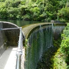
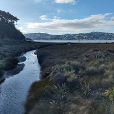
Akatarawa Forest is a regional park of about 15,000 hectares between Upper Hutt and the Kapiti Coast, reaching 1,529 m at Kakanui on its north-east edge. It holds native forest and exotic conifer plantations, and the headwaters of the Maungakotukutuku Stream, Akatarawa River West and Whakatīkei River.

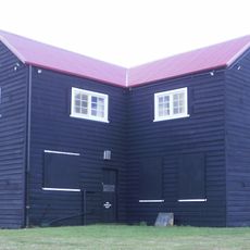
Akatarawa Forest holds northern rātā trees that predate human settlement in New Zealand, including one estimated at 1,100 years old and 39 metres tall, the largest rātā in the country. From 1900 to 1920, sawmills felled rimu, mataī, tōtara, kahikatea and miro, hauled out along Karapoti Road, built in 1911. Discarded machinery still stands beside the road.

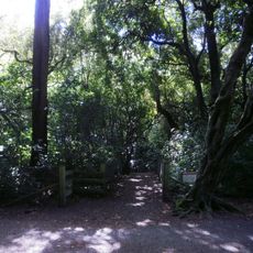
The name Akatarawa comes from the Maori language and refers to the trailing vines that grow throughout the forest. You notice these plants as you walk through different parts of the park.

Akatarawa Forest is the only forest in the Wellington Region open to motorised vehicles, so 4WD and enduro riders share the old logging and transport roads with walkers, mountain bikers and horse riders. The highest point is Kakanui, 1529 m, on the north-eastern edge. Firewood collection is allowed only under a strictly regulated plan.

The Whakatikei Loop is a well-known hiking trail that passes through multiple valleys and ridge areas, connecting different forest sections. The path allows hikers to experience the varied habitats and landscapes of the park in a single journey.

The community of curious travelers

AroundUs brings together thousands of curated places, local tips, and hidden gems, enriched daily by 93,472 contributors worldwide.

Start exploring
GPS coordinates
-41.04094,175.03700
Latest update
October 31, 2026 14:51
Reviews
Share your experience

No review yet

Discussions
Start a discussion...

No discussion yet

« Akatarawa Forest - Regional park in Greater Wellington, New Zealand » is provided by Around Us (aroundus.com). Images and texts are derived from Wikimedia project under a Creative Commons license. You are allowed to copy, distribute, and modify copies of this page, under the conditions set by the license, as long as this note is clearly visible.

Discover hidden gems everywhere you go!

From secret cafés to breathtaking viewpoints, skip the crowded tourist spots and find places that match your style. Our app makes it easy with voice search, smart filtering, route optimization, and insider tips from travelers worldwide. Download now for the complete mobile experience.
Around Us App Screenshot
❝

A unique approach to discovering new places❞

— Le Figaro

❝

All the places worth exploring❞

— France Info

❝

A tailor-made excursion in just a few clicks❞

— 20 Minutes

Around Us
Travel Guide & Maps
Download

Send to your phone

QR Code
1

Open the camera app on your mobile.

2

Point at the QR code with your camera. A notification will appear.

3

Tap the notification to open the link.