
Tongaporutu River Baches Historic Area, historic site in Tongapōrutu, New Zealand
Location: New Plymouth District
GPS coordinates: -38.81865,174.59622
Latest update: March 28, 2025 07:02
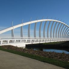
Te Rewa Rewa Bridge
48.5 km
Pukekura Park
52.5 km
Festival of Lights
52.4 km
TSB Stadium
52.4 km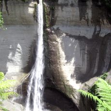
Mount Damper Falls
20 km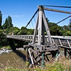
Bertrand Road suspension bridge
39 km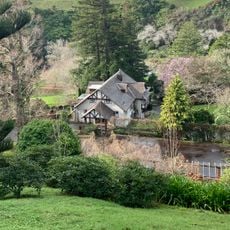
Tūpare
51.7 km
Te Henui Vicarage
50.9 km
Holy Trinity Church
50.2 km
Methodist Parsonage
36.2 km
Roebuck House
52.5 km
St Andrew's Church
52.4 km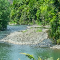
Arorangi Scenic Reserve
21.1 km
Paemako Scenic Reserve
46.6 km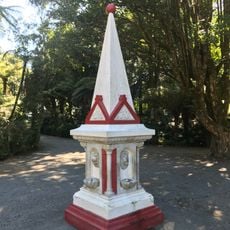
Queen Victoria Monument
52.5 km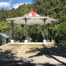
Band Rotunda
52.5 km
Te Henui Primitive Methodist Church
50.2 km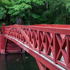
Poet's Bridge
52.6 km
C.C. Ward Building
52.4 km
Whangamomona Hotel
38.3 km
Butcher's Shop
38.2 km
Flight House
50.9 km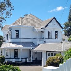
House
52 km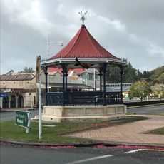
Inglewood Band Rotunda
50.4 km
Shoe Store Building
50.4 km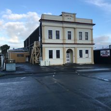
Town Hall
50.6 km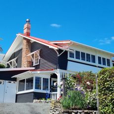
Bates House
51.6 km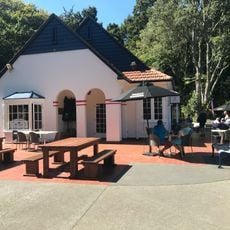
Tea House
52.5 kmVisited this place? Tap the stars to rate it and share your experience / photos with the community! Try now! You can cancel it anytime.
Discover hidden gems everywhere you go!
From secret cafés to breathtaking viewpoints, skip the crowded tourist spots and find places that match your style. Our app makes it easy with voice search, smart filtering, route optimization, and insider tips from travelers worldwide. Download now for the complete mobile experience.

A unique approach to discovering new places❞
— Le Figaro
All the places worth exploring❞
— France Info
A tailor-made excursion in just a few clicks❞
— 20 Minutes