
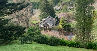
Tūpare, public garden in Taranaki, New Zealand
Location: Taranaki Region
Inception: 1932
Founders: Russell Matthews
Address: 487 Mangorei Road, New Plymouth, New Zealand
Website: http://tupare.nz
GPS coordinates: -39.08850,174.11000
Latest update: March 15, 2025 04:56
Pukekura Park
3.8 km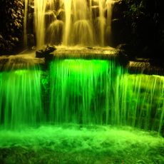
Festival of Lights
3.8 km
TSB Stadium
3.5 km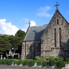
The Taranaki Cathedral Church of St Mary
4.5 km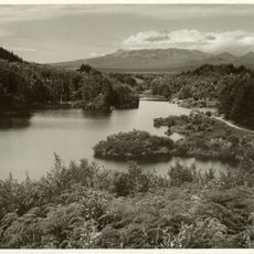
Lake Mangamahoe
4.1 km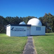
New Plymouth Observatory
4.3 km
Te Henui Vicarage
4.2 km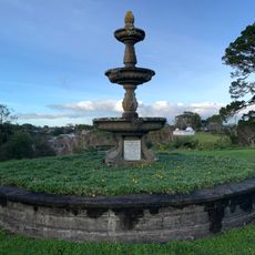
Boer War Memorial
4.4 km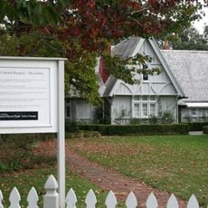
The Gables Colonial Hospital
3.3 km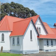
Holy Trinity Church
4.4 km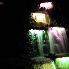
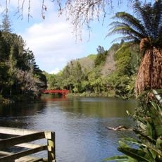
Pukekura Falls
3.8 km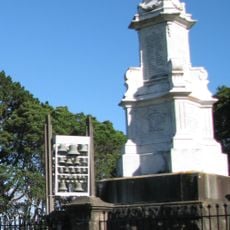
New Zealand Wars Memorial New Plymouth
4.4 km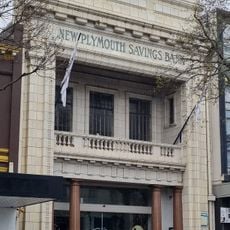
New Plymouth Savings Bank
4.7 km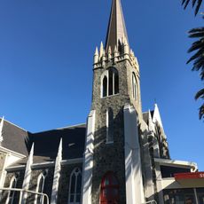
St Andrew's Church
4.4 km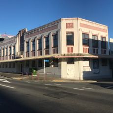
Roebuck House
4.5 km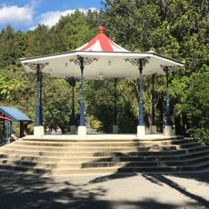
Band Rotunda
3.8 km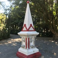
Queen Victoria Monument
3.8 km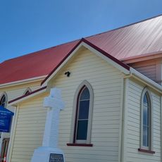
Te Henui Primitive Methodist Church
4.4 km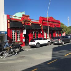
Brougham Street Offices
4.6 km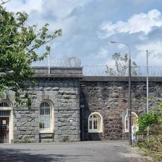
New Plymouth Prison
4.2 km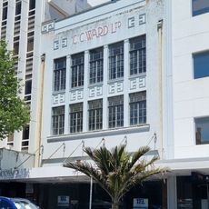
C.C. Ward Building
4.6 km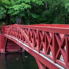
Poet's Bridge
3.7 km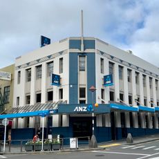
National Bank Building
4.6 km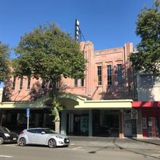
Mayfair Cinema
4.7 km
Flight House
3.8 km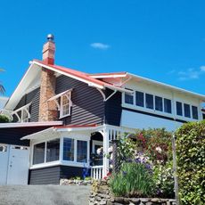
Bates House
3.9 km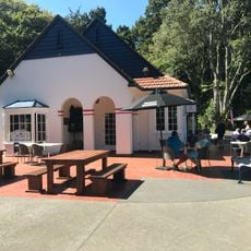
Tea House
3.8 km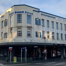
King Building
4.7 kmReviews
Visited this place? Tap the stars to rate it and share your experience / photos with the community! Try now! You can cancel it anytime.
Discover hidden gems everywhere you go!
From secret cafés to breathtaking viewpoints, skip the crowded tourist spots and find places that match your style. Our app makes it easy with voice search, smart filtering, route optimization, and insider tips from travelers worldwide. Download now for the complete mobile experience.

A unique approach to discovering new places❞
— Le Figaro
All the places worth exploring❞
— France Info
A tailor-made excursion in just a few clicks❞
— 20 Minutes