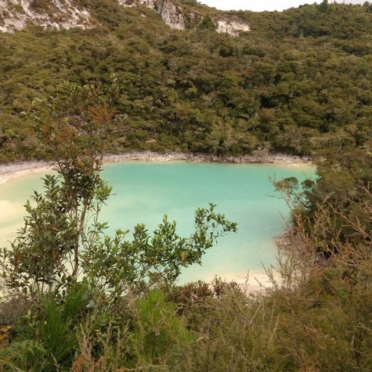
Kaingaroa Forest, Pine forest in Bay of Plenty Region, New Zealand
Kaingaroa Forest covers 2,900 square kilometres of the Bay of Plenty Region, from Lake Taupō south to Kawerau. It holds roughly 20 million trees, mainly radiata pine, on a volcanic-ash plateau between 152 and 756 metres high. State Highway 38 crosses it from Waiotapu to Murupara, and the forest headquarters are at the settlement of Kaingaroa, 50 kilometres southeast of Rotorua.
Experimental plantings of Douglas fir and radiata pine began in the early 1900s, with systematic development of the forest undertaken by the government starting in the 1920s. This transformation converted the land into one of the nation's major timber production landscapes.
The name Te Kaingaroa-a-Haungaroa recalls Haungaroa, a Māori woman who travelled inland from Hawaiki and ate so slowly that her companions teased her; the plains became "the long meal of Haungaroa". In one account she turned the mocking servants into tī (cabbage trees), two of which stood on the plains until pines were planted.
The forest headquarters are located roughly 50 kilometers southeast of Rotorua and can be reached via State Highway 38, which passes through the plantation. Since this is an actively managed working forest, visitors should follow on-site guidance and stick to designated paths for safety and to protect the growing trees.
The two tī (cabbage) trees into which the legendary Haungaroa turned her teasing servants reportedly stayed just out of reach of travellers crossing the plains, however far they walked, until pine planting began. State Highway 38 crosses the plantation from Waiotapu to Murupara.
The community of curious travelers
AroundUs brings together thousands of curated places, local tips, and hidden gems, enriched daily by 93,424 contributors worldwide.