Gisborne District, Administrative division on the North Island, New Zealand
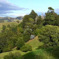
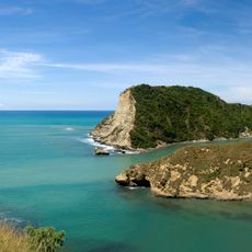
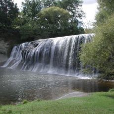
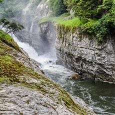
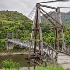
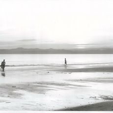
Gisborne District is an administrative region along the northeastern coast of the North Island combining coastal plains with mountainous inland areas. The landscape shifts between flat seaside zones and forested highlands toward the west.
The region became a unified administrative district in 1989 after merging multiple separate local authorities through a nationwide reform. This reorganization brought different areas together under one management structure.
The district holds strong connections to Māori communities, particularly the iwi Ngāti Porou and Rongowhakaata. These bonds shape daily life and local identity throughout the region.
The district is best accessed via main highways and secondary roads connecting the coast to the mountainous interior. Visitors should expect varying road conditions and longer travel times in less populated areas.
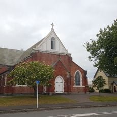
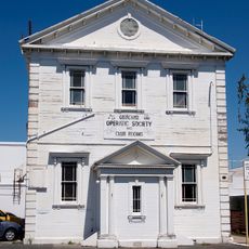
A strong earthquake in 2007 damaged buildings in the central business area and prompted reconstruction with improved structural standards. Today visitors can see reinforced newer structures showing resilience against natural hazards.
The community of curious travelers
AroundUs brings together thousands of curated places, local tips, and hidden gems, enriched daily by 60,000 contributors worldwide.