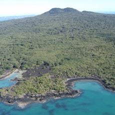
Rangitoto Island, Volcanic island in Hauraki Gulf, New Zealand
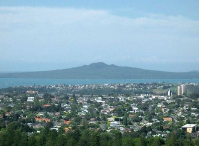
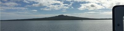
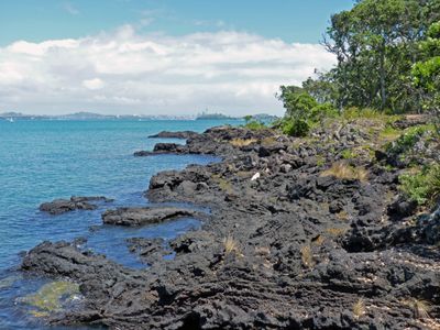
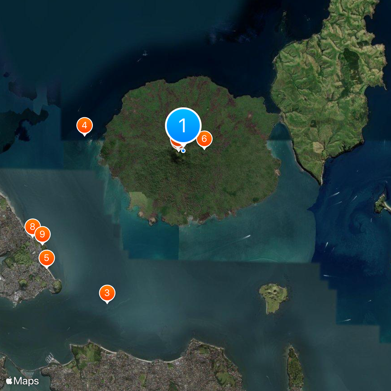
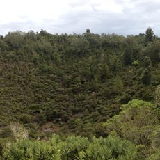
Rangitoto Island is a volcano and an island in the Auckland Region, New Zealand, rising from the water of the Hauraki Gulf. The cone climbs roughly 260 meters (853 feet) and displays wide fields of dark basalt that stretch between forests and a network of walking paths.
The cone formed through eruptions roughly 600 years ago, and activity ended around the year 1400. Before this time, open water lay in this spot, and the first human observers witnessed the birth of the island from the gulf.
The name in the local language refers to an old story about wounds suffered in battle, still remembered by the tribes with ties to this land. Visitors today see the dark rock fields and the red blooms of native trees that flower in December and January.
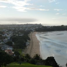
The ferry from the city center brings visitors to the wharf on the island, and it helps to carry enough water and food since no shops operate there. The walk to the summit takes about an hour and crosses uneven lava fields, so sturdy shoes and sun protection are important.
On the bare rock grows the largest forest of its kind in the world, with over 200 different plant species all sprouting directly from cracks in the basalt. Some of the trees send their roots several meters down into the porous rock to find water and support.
The community of curious travelers
AroundUs brings together thousands of curated places, local tips, and hidden gems, enriched daily by 60,000 contributors worldwide.