Auckland volcanic field, Monogenetic volcanic field in Auckland, New Zealand.
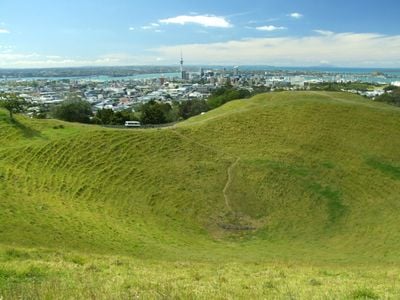
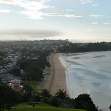
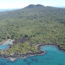
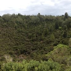
The Auckland volcanic field is a monogenetic volcanic zone of about 53 centres spread across the Auckland isthmus, from Lake Pupuke and Rangitoto Island in the north to Matukutururu in the south. Most cones stand under 150 metres high, and the field includes maars, tuff rings, scoria cones and lava flows; more than 50 lava tubes and caves have been found, including the 290-metre Wiri Lava Cave.
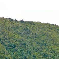
The first eruption in the field occurred at Pupuke 193,200 ± 2,800 years ago. Rangitoto, the most recent, erupted about 600 years ago and again roughly 50 years later, producing 0.7 cubic kilometres of lava and 41 per cent of the field's erupted volume. Most other centres erupted only once, over weeks to several years.
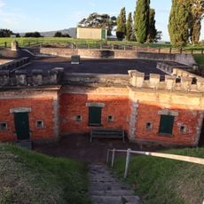
Several cones carry names from the Māori language and show their long connection to the region. Visitors can see traces of former fortified settlements on the elevated sites.
Walking trails lead up many cones and offer different difficulty levels for all visitor groups. Public transport connects several sites, and paths are often well signposted.
Sensors throughout the city measure seismic movements around the clock and send data to monitoring centers. This system was developed to detect early signs of new activity and protect the population.
The community of curious travelers
AroundUs brings together thousands of curated places, local tips, and hidden gems, enriched daily by 92,074 contributors worldwide.